Middletown in Middlesex County, Connecticut — The American Northeast (New England)
Old City Hall Bell
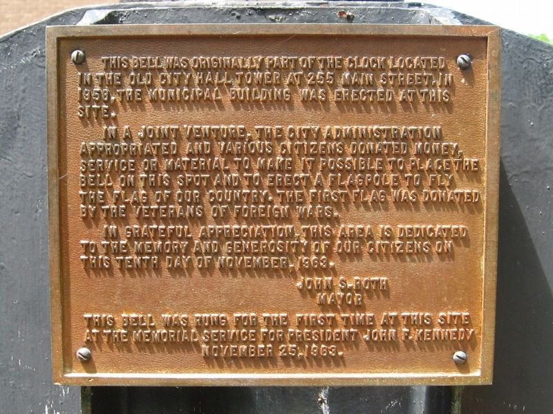
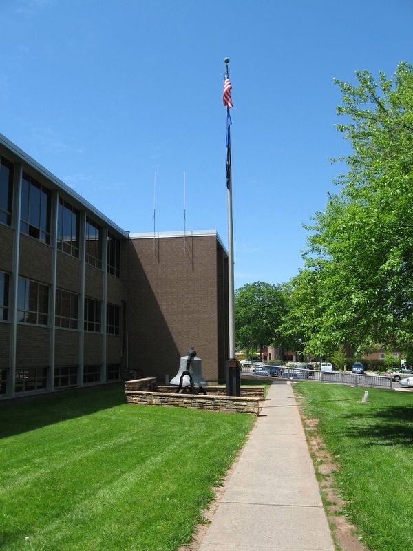
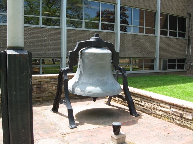
This bell was originally part of the clock located in the old city hall tower at 255 Main Street. In 1958, the municipal building was erected at this site.
In a joint venture, the city administration appropriated and various citizens donated money, service or material to make it possible to place the bell on this spot and to erect a flagpole to fly the flag of our country. The first flag was donated by the Veterans of Foreign Wars.
In grateful appreciation, this area is dedicated to the memory and generosity of our citizens on this tenth day of November, 1963.
John S. Roth
Mayor
This bell was rung for the first time at this site at the memorial service for President John F. Kennedy
November 25, 1963.
Topics and series. This historical marker is listed in this topic list: Government & Politics. In addition, it is included in the Former U.S. Presidents: #35 John F. Kennedy, and the Historic Bells series lists.
Location. 41° 33.71′ N, 72° 38.879′ W. Marker is in Middletown, Connecticut, in Middlesex County. Marker is at the intersection of deKoven Drive and Court Street, on the right when traveling south on deKoven Drive. Touch for map. Marker is in this post office area: Middletown CT 06457, United States of America. Touch for directions.
Other nearby markers. At least 8 other markers are within walking distance of this marker. Middletown and the Connecticut River (within shouting distance of this marker); deKoven House Community Center (about 400 feet away, measured in a direct line); The deKoven House (about 400 feet away); The UNESCO Slave Route Project (about 500 feet away); Middletown in the 1900s (about 700 feet away); Middletown in the 1800s (about 700 feet away); Middletown in the 1700s (about 700 feet away); Middletown in the 1600s (about 700 feet away). Touch for a list and map of all markers in Middletown.
Credits. This page was last revised on October 9, 2016. It was originally submitted on October 9, 2016, by Michael Herrick of Southbury, Connecticut. This page has been viewed 346 times since then and 17 times this year. Photos: 1, 2, 3. submitted on October 9, 2016, by Michael Herrick of Southbury, Connecticut.


