San Miguel de Allende, Guanajuato, Mexico — The Central Highlands (North America)
First Independent Municipality of Mexico
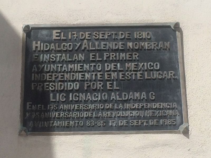
Inscription.
Hidalgo y Allende nombran
e instalan el Primer
Ayuntamiento del Mexico
Independiente en este lugar.
Presidido por el
Lic Ignacio Aldama G
En el 175 aniversario de la Independencia
y 75 aniversario de la Revolucion Mexicana
Ayuntamiento 83-85 17 de Sept. de 1985
On September 17, 1810
Hidalgo and Allende named and installed the
First Municipality of Independent Mexico
in this location.
It was presided over by Ignacio Aldama G.
On the 175th anniversary of Independence
and the 75th anniversary of the Mexican Revolution
Municipal Council of 1983-1985, September 17, 1985
Erected 1985 by Ayuntamiento de San Miguel de Allende.
Topics. This memorial is listed in these topic lists: Colonial Era • Government & Politics • Patriots & Patriotism • Wars, Non-US. A significant historical date for this entry is September 17, 1810.
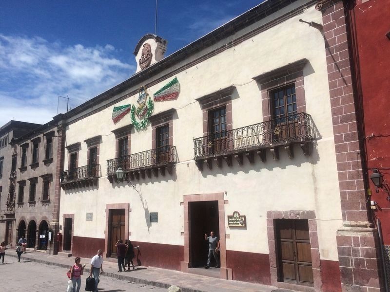
Location. 20° 54.874′ N, 100° 44.628′ W. Marker is in San Miguel de Allende, Guanajuato. Memorial is on Calle Principal, on the right when traveling west. Touch for map. Marker is at or near this postal address: Calle Principal 12, San Miguel de Allende GTO 37700, Mexico. Touch for directions.
Other nearby markers. At least 8 other markers are within walking distance of this marker. Here Independence was Planned (within shouting distance of this marker); House of the Primogeniture of de la Canal (within shouting distance of this marker); Narciso María Loreto de la Canal (within shouting distance of this marker); Main Garden (within shouting distance of this marker); Allende's Independence Meetings (within shouting distance of this marker); House of Ignacio Aldama (about 90 meters away, measured in a direct line); Parish of Saint Michael the Archangel (about 90 meters away); Friar Juan de San Miguel (about 90 meters away). Touch for a list and map of all markers in San Miguel de Allende.

Photographed By J. Makali Bruton, October 8, 2016
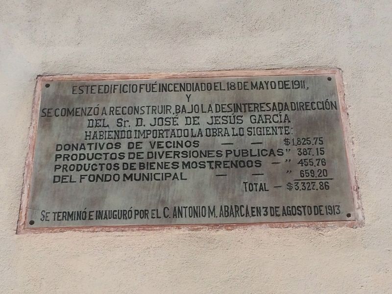
2. Additional marker on the burning of the Municipality in 1911.
This additional marker to the left of the featured marker notes that the Municipality was burned on May 18, 1911. It was rebuilt at a cost of 3,327.87 pesos, from different sources, under the direction of José de Jesús García. It was finished and inaugurated by C. Antonio M. Abarca on August 3, 1913.
The marker doesn't specifically mention it, but it was burned by an enraged crowd during the Mexican Revolution.
The marker doesn't specifically mention it, but it was burned by an enraged crowd during the Mexican Revolution.
Credits. This page was last revised on September 1, 2020. It was originally submitted on October 13, 2016, by J. Makali Bruton of Accra, Ghana. This page has been viewed 245 times since then and 10 times this year. Photos: 1, 2, 3. submitted on October 13, 2016, by J. Makali Bruton of Accra, Ghana.

