Near Fort Oglethorpe in Walker County, Georgia — The American South (South Atlantic)
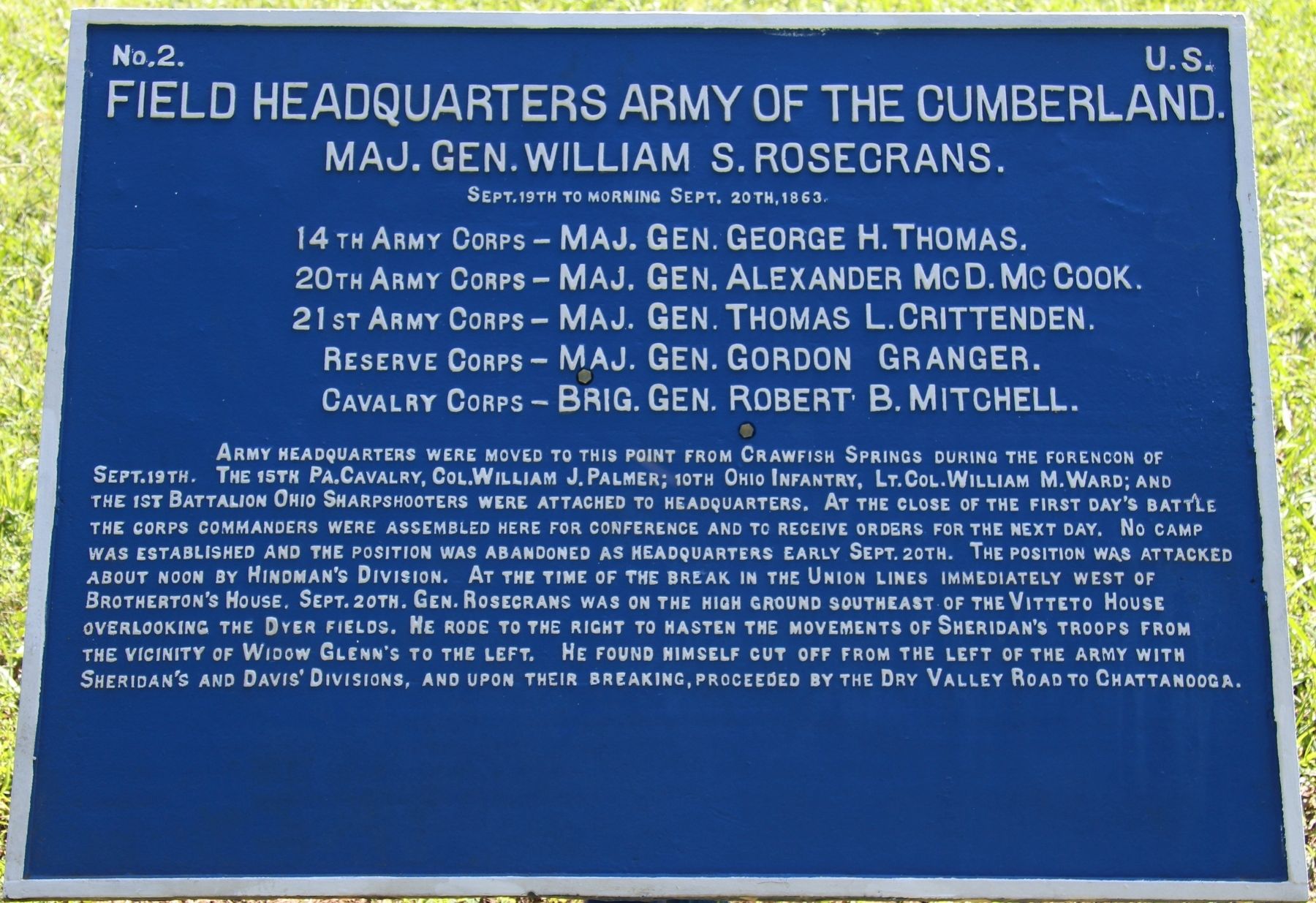
Field Headquarters Army of the Cumberland.
Major General William S. Rosecrans.
Inscription.
Major General William S. Rosecrans.
September 19th to morning September 20th, 1863.
14th Army Corps - Major General George H. Thomas.
20th Army Corps - Major General Alexander McDowell McCook.
21st Army Corps - Major General Thomas L. Crittenden.
Reserve Corps - Major General Gordon Granger.
Cavalry Corps - Brigader General Robert B. Mitchell.
Army Headquarters were moved to this point from Crawfish Springs during the forenoon of September 19th. The 15th Pennsylvania Cavalry, Colonel William J. Palmer; 10th Ohio Infantry, Lieutenant Colonel William M. Ward; and the 1st Battalion Ohio Sharpshooters were attached to headquarters. At the close of the first day's battle the corps commanders were assembled here for conference and to receive orders for the next day. No camp was established and the position was abandoned as headquarters early September 20th. The position was attacked about noon by Hindman's Division. At the time of the break in the Union lines immediately west of Brotherton's House. September 20th, General rosecrans was on the high ground southeast of the Vitteto House overlooking the Dyer fields. He rode to the right to hasten the movements of Sheridan's troops from the vicinity of Widow Glenn's to the left. He found himself cut off from the left of the army with Sheridan's and Davis' Divisions, and upon their breaking, proceeded by the Dry Valley Road to Chattanooga.
Erected 1890 by the Chickamauga and Chattanooga National Military Park Commission. (Marker Number MT-428.)
Topics. This historical marker is listed in this topic list: War, US Civil. A significant historical date for this entry is September 19, 1863.
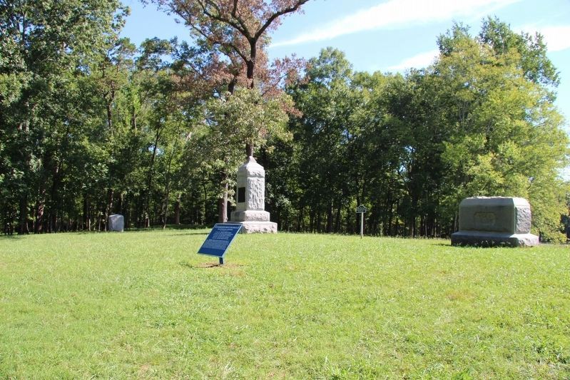
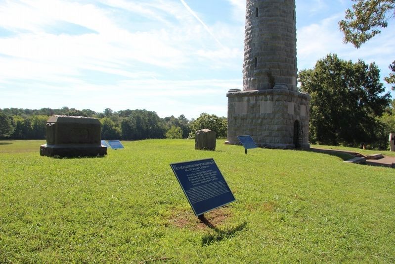
Location. 34° 54.46′ N, 85° 16.354′ W. Marker is near Fort Oglethorpe, Georgia, in Walker County. Marker is on Glenn-Viniard Road north of Wilder Road, on the right when traveling north. This tablet is located in the national park that preserves the site of the Chickamauga Battlefield, a short distance off a park roadway (Google maps show road as Vittitoe-Chickamauga Road, NPS map show road as Glenn-Viniard Road), just north of the Wilder Tower. Touch for map. Marker is in this post office area: Fort Oglethorpe GA 30742, United States of America. Touch for directions.
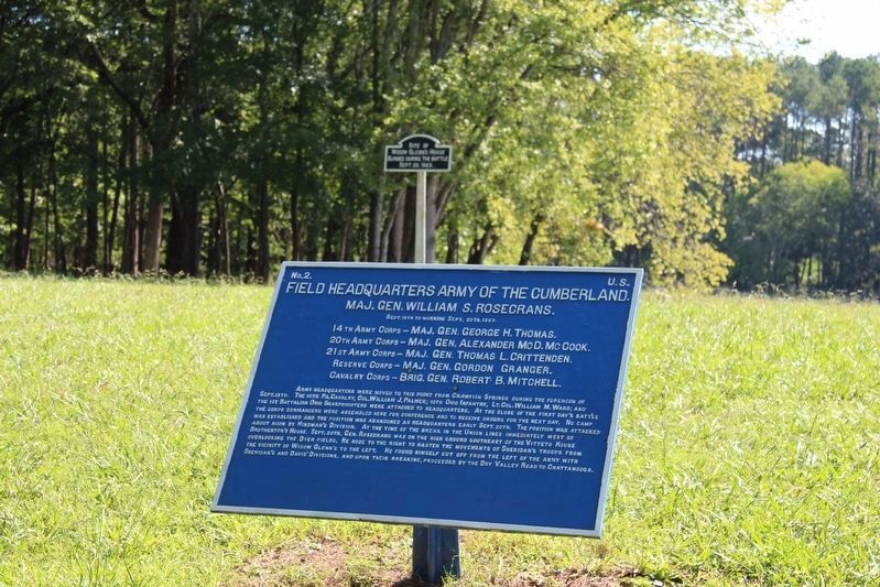
Other nearby markers. At least 8 other markers are within walking distance of this marker. Widow Glenn's House Site (here, next to this marker); 39th Indiana Mounted Infantry (a few steps from this marker); 98th Illinois Infantry (a few steps from this marker); 18th Indiana Battery (a few steps from this marker); a different marker also named 18th Indiana Battery (a few steps from this marker);
72nd Indiana Mounted Infantry (a few steps from this marker); Wilder's Brigade (a few steps from this marker); Wilder Brigade Monument (within shouting distance of this marker). Touch for a list and map of all markers in Fort Oglethorpe.
More about this marker. I used the "Chickamauga Battlefield" map, that I purchased at the Chickamauga and Chattanooga National Military Park, Visitor Center, to determine both the marker number for this tablet and the tablet's location in relation to the rest of the park's monuments, markers, and tablets. According to the map it provides the, "numerical listing of all monuments, markers, and tablets on the Chickamauga Battlefield (using the Chick-Chatt NMP Monument Numbering System).”
Credits. This page was last revised on July 3, 2017. It was originally submitted on October 20, 2016, by Dale K. Benington of Toledo, Ohio. This page has been viewed 301 times since then and 8 times this year. Photos: 1, 2, 3, 4. submitted on October 20, 2016, by Dale K. Benington of Toledo, Ohio.


