Flores, Petén, Guatemala — Central America
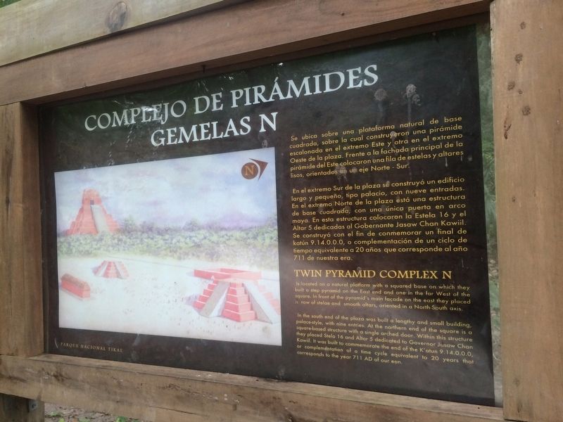
Twin Pyramid Complex N
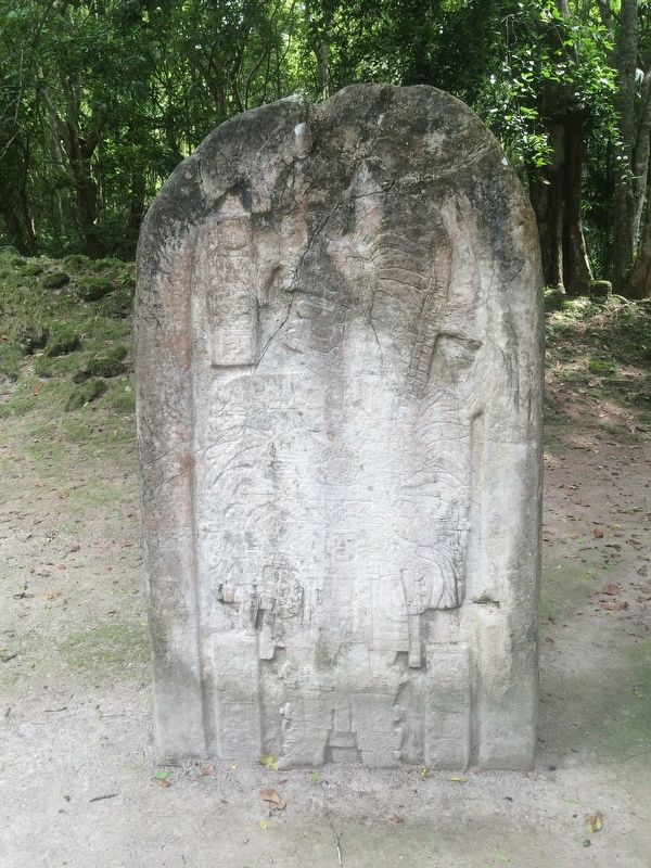
Se ubica sobre una plataforma natural de base cuadrada, sobre la cual construyeron una pirámide escalonada en el extremo Este y otra en el extermo Oeste de la plaza. Frente a la fachada principal de la pirámide del Este colocaron una fila de estelas y altares lisos, orientados en un eje Norte - Sur.
En el extremo Sur de la plaza se construyó un edificio largo y pequeño, tipo palacio, con nueve entradas. En el extremo Norte de la plaza está un estructura de base cuadrada, con una única puerta en arco maya. En esta estructura colocaron la Estel 16 y el Altar 5 dedicadas al Gobernante Jasaw Chan Kawil. Se construyó con el fin de conmemorar un final de katún 9.14.0.0.0 o complementación de un ciclo de tiempo equivalente a 20 años que corresponde al año 711 de nuestra era.
Twin Pyramid Complex N
Is located on a natural platform with a squared base on which they built a step pyramid on the East end and one in the far West of the square. In front of the pyramid's main facade on the east they placed a row of stelae and smooth altars, oriented in a North - South axis.
In the south end of the plaza was built a lengthy and small-building, palace-style, with nine entries. At the northern end of the square is a square-based structure with a single arched door. Within this structure they placed Stela 16 and Altar 5 dedicated to Governor Jasaw Chan Kawiil. It was built to commemorate the end of the K'atun 9.14.0.0.0., or complementation of a time cycle equivalent to 20 years that corresponds to the year 711 AD of our eon.
Topics. This historical marker is listed in these topic lists: Architecture • Man-Made Features • Native Americans.
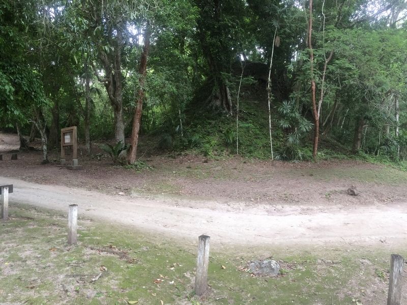
Location. 17° 13.356′ N, 89° 37.719′ W. Marker is in Flores, Petén. The marker is along the Tozzer Causeway between Temples IV and III at Tikal Archaeological Park. Touch for map. Marker is in this post office area: Flores, Petén 17001, Guatemala. Touch for directions.
Other nearby markers. At least 8 other markers are within walking distance of this marker. The Bat Palace (about 90 meters away, measured in a direct line); Sloping Panel Temple at Tikal National Park (approx. 0.3 kilometers away); Temple III at Tikal National Park (approx. 0.3 kilometers away); Great Pyramid (approx. 0.3 kilometers away); Temple II (approx. half a kilometer away); Temple V at Tikal (approx. 0.6 kilometers away); East Plaza at Tikal
(approx. 0.7 kilometers away); The "Acanaladuras" Palace (approx. one kilometer away). Touch for a list and map of all markers in Flores.
Credits. This page was last revised on March 2, 2018. It was originally submitted on October 24, 2016, by J. Makali Bruton of Accra, Ghana. This page has been viewed 247 times since then and 12 times this year. Photos: 1, 2, 3. submitted on October 24, 2016, by J. Makali Bruton of Accra, Ghana.


