Pilot Knob in Iron County, Missouri — The American Midwest (Upper Plains)
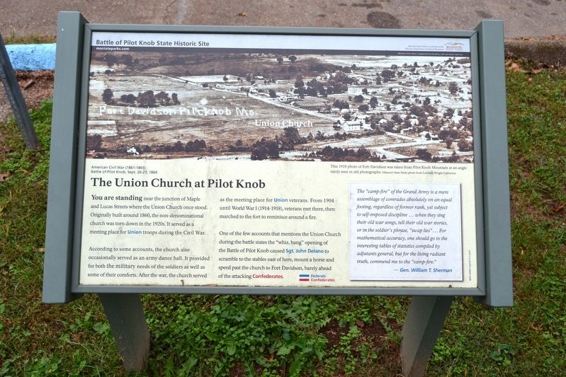
The Union Church at Pilot Knob
According to some accounts, the church also occasionally served as an army dance hall. It provided for both the military needs of the soldiers as well as some of their comforts. After the war, the church served as the meeting place for Union veterans. From 1904 until World War I (1914-1918), veterans met there, then marched to the fort to reminisce around a fire.
One of the few accounts that mentions the Union Church during the battle states the “whiz, bang” opening of the Battle of Pilot Knob caused Sgt. John Delano to scramble to the stables east of here, mount a horse and speed past the church to Fort Davidson, barely ahead of the attacking Confederates.
The “camp-fire” of the Grand Army is a mere assemblage of comrades absolutely on an equal footing, regardless of former rank, yet subject to self-imposed discipline … when they sing their old war songs, tell their old war stories, or in the soldier’s phrase, “swamp lies” … For mathematical accuracy, one should go to the interesting tables of statistics compiled by adjutants general, but for the living radiant truth, commend me to the “camp-fire.”
- Gen. William T. Sherman
Erected by Missouri State Parks.
Topics. This historical marker is listed in these topic lists: Churches & Religion • War, US Civil. A significant historical year for this entry is 1860.
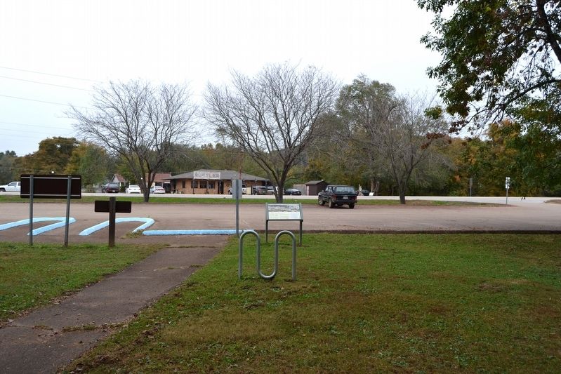
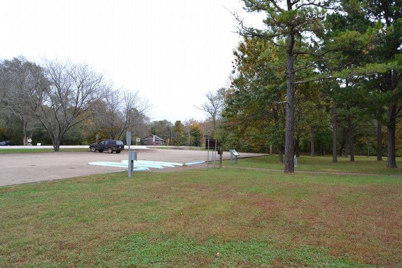
Location. 37° 37.259′ N, 90° 38.259′ W. Marker is in Pilot Knob, Missouri, in Iron County. Marker can be reached from Maple Street (State Highway 221) 0.2 miles east of McCune Street, on the right when traveling east. Marker is located at the parking lot of the day use area of the Battle of Pilot Knob State Historic Site; the above directions are to the driveway entrance to the day use area. Touch for map. Marker is at or near this postal address: 118 Maple St, Pilot Knob MO 63663, United States of America. Touch for directions.
Other nearby markers. At least 8 other markers are within walking distance of this marker. The Fight for Ironton (about 400 feet away, measured in a direct line); The Struggle for the Mountains (about 600 feet away); The Doomed Assault (about 700 feet away); Iron Furnace (about 700 feet away); The Moat (about 700 feet away); Pilot Knob Mountain (about 800 feet away); The Powder Magazine (approx. 0.2 miles away); Fort Davidson (approx. 0.2 miles away). Touch for a list and map of all markers in Pilot Knob.
More about this marker. The marker includes a 1910 photograph of Fort Davidson taken from Pilot Knob Mountain at an angle rarely seen in old photographs. The photo is a Missouri State Parks photo from the Leonard Wright Collection.
Also see . . . Battle of Pilot Knob State Historic Site. The official website of this state park. (Submitted on October 28, 2016.)
Credits. This page was last revised on October 28, 2016. It was originally submitted on October 28, 2016, by Duane Hall of Abilene, Texas. This page has been viewed 255 times since then and 9 times this year. Photos: 1, 2, 3. submitted on October 28, 2016, by Duane Hall of Abilene, Texas.


