Near Salem in Dent County, Missouri — The American Midwest (Upper Plains)
White River Trace portion of the Trail of Tears
Inscription.
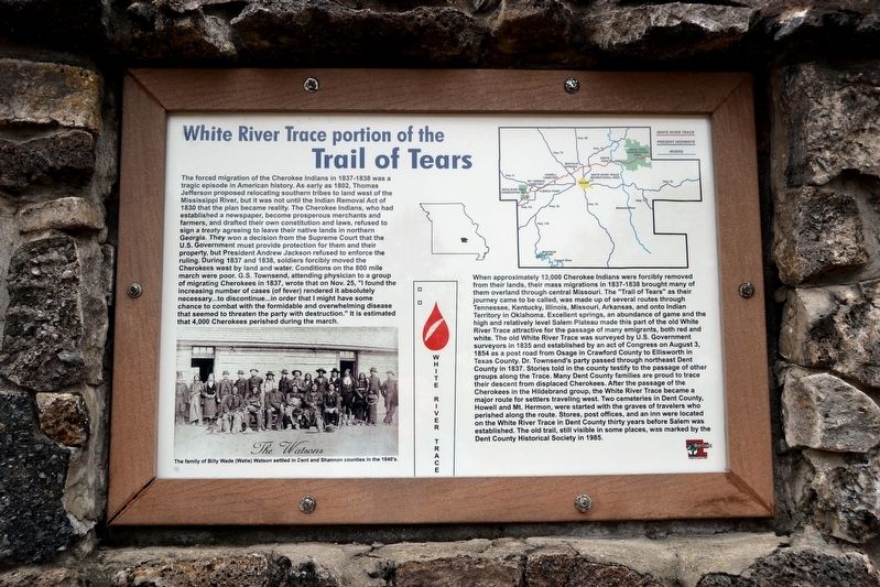
The forced migration of the Cherokee Indians in 1837-1838 was a tragic episode in American history. As early as 1802, Thomas Jefferson proposed relocating southern tribes to land west of the Mississippi River, but it was not until the Indian Removal Act of 1830 that the plan became a reality. The Cherokee Indians, who had established a newspaper, become prosperous merchants and farmers, and drafted their own constitution and laws, refused to sign a treaty agreeing to leave their native lands in northern Georgia. They won a decision from the Supreme Court that the U.S. Government must provide protection for them and their property, but President Andrew Jackson refused to enforce the ruling. During 1837 and 1838, soldiers forcibly moved the Cherokees west by land and water. Conditions on the 800 mile march were poor. G.S. Townsend, attending physician to a group of migrating Cherokees in 1837, wrote that on Nov. 25, “I found the increasing number of cases (of fever) rendered it absolutely necessary ... to discontinue ... in order that I might have some chance to combat with the formidable and overwhelming disease that seemed to threaten the party with destruction.” It is estimated that 4,000 Cherokees perished during the march.
When approximately 13,000 Cherokee Indians were forcibly removed from their lands, their mass migrations in 1837-1838 brought many of them overland through central Missouri. The “Trail of Tears” as their journey came to be called, was made up of several routes through Tennessee, Kentucky, Illinois, Missouri, Arkansas, and onto Indian Territory in Oklahoma. Excellent springs, an abundance of game and the high and relatively level Salem Plateau made this part of the old White River Trace attractive for the passage of many emigrants, both red and white. The old White River Trace was surveyed by U.S. Government surveyors in 1835 and established by an act of Congress on August 3, 1854 as a post road from Osage in Crawford County to Ellsworth in Texas County. Dr. Townsend’s party passed through northeast Dent County in 1837. Stories told in the county testify to the passage of other groups along the Trace. Many Dent County families are proud to trace their descent from displaced Cherokees. After the passage of the Cherokees in the Hildebrand group, the White River Trace became a major route for settlers traveling west. Two cemeteries in Dent County, Howell and Mt. Hermon, were started with the graves of travelers who perished along the route. Stores, post offices, and an inn were located on the White River Trace in Dent County thirty years before Salem was established. The old trail, still visible in some places, was marked by the Dent County Historical Society
in 1985.
Erected 1985 by Dent County Historical and Genealogical Society.
Topics. This historical marker is listed in these topic lists: Native Americans • Roads & Vehicles. A significant historical year for this entry is 1837.
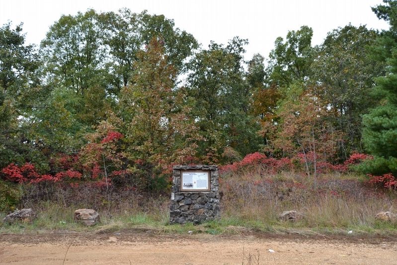
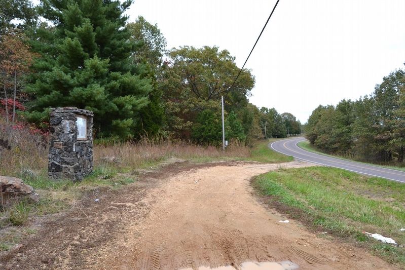
Location. 37° 41.574′ N, 91° 31.01′ W. Marker is near Salem, Missouri, in Dent County. Marker is on State Highway 19, 0.7 miles south of County Road 415, on the right when traveling south. Touch for map. Marker is in this post office area: Salem MO 65560, United States of America. Touch for directions.
Other nearby markers. At least 2 other markers are within 10 miles of this marker, measured as the crow flies. Salem (approx. 3.2 miles away); Veterans Memorial (approx. 9.3 miles away).
More about this marker. The marker includes a map showing the route of the White River Trace in Dent County and a photograph of the family of Billy Wade (Watie) Watson, which settled in Dent and Shannon counties in the 1840’s.
Also see . . .
1. Trail of Tears: A sad part of American and Dent County history. An article written by Dennis Hayman about the Trail of Tears in Dent County for the Salem News newspaper (December 31, 2012 edition). (Submitted on November 1, 2016.)
2. Trail of Tears: Recognizing trail a community effort. An article written by Dennis Hayman about the Trail of Tears in Dent
County for the Salem News newspaper (January 8, 2013 edition). (Submitted on November 1, 2016.)
Credits. This page was last revised on November 1, 2016. It was originally submitted on November 1, 2016, by Duane Hall of Abilene, Texas. This page has been viewed 999 times since then and 92 times this year. Photos: 1, 2, 3. submitted on November 1, 2016, by Duane Hall of Abilene, Texas.


