Hartville in Wright County, Missouri — The American Midwest (Upper Plains)
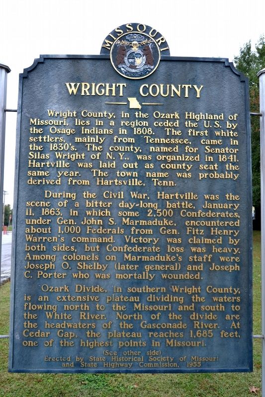
Wright County
During the Civil War, Hartville was the scene of a bitter day-long battle, January 11, 1863, in which some 2,500 Confederates, under Gen. John S. Marmaduke, encountered about 1,000 Federals from Gen. Fitz Henry Warren’s command. Victory was claimed by both sides, but Confederate loss was heavy. Among colonels on Marmaduke’s staff were Joseph O. Shelby (later general) and Joseph C. Porter who was mortally wounded.
Ozark Divide, in southern Wright County, is an extensive plateau dividing the waters flowing north to the Missouri and south to the White River. North of the divide are the headwaters of the Gasconade River. At Cedar Gap, the plateau reaches 1,685 feet, one of the highest points in Missouri.
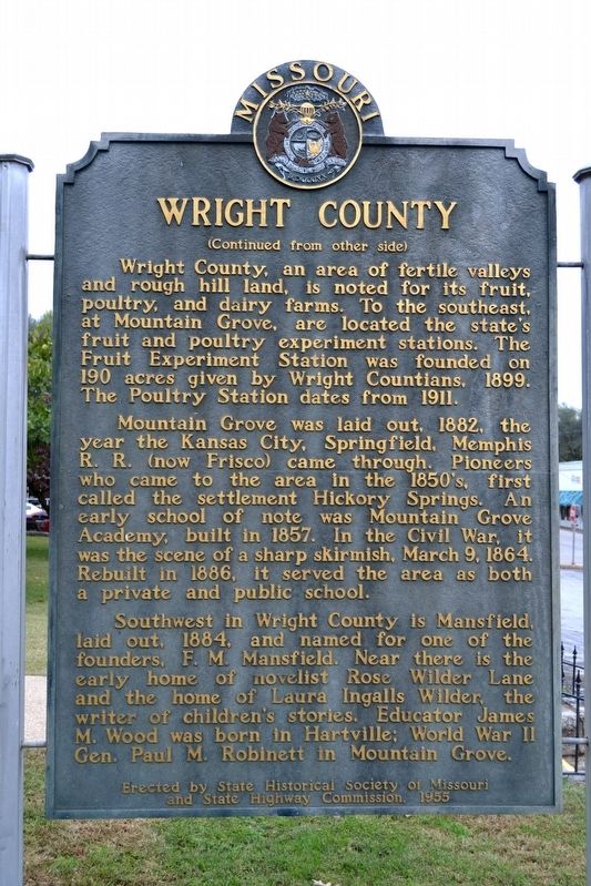
Wright County, an area of fertile valleys and rough hill land, is noted for its fruit, poultry, and dairy farms. To the southeast, at Mountain Grove, are located the state’s fruit and poultry experiment stations. The Fruit Experiment Station was founded on 190 acres given by Wright Countians, 1899. The Poultry Station dates from 1911.
Mountain Grove was laid out, 1882, the year the Kansas City, Springfield, Memphis R.R. (now Frisco) came through. Pioneers who came to the area in the 1850’s, first called the settlement Hickory Springs. An early school of note was Mountain Grove Academy, built in 1857. In the Civil War, it was the scene of a sharp skirmish, March 9, 1864. Rebuilt in 1886, it served the area as both a private and public school.
Southwest in Wright County is Mansfield, laid out, 1884, and named for one of the founders, F.M. Mansfield. Near there is the early home of novelist Rose Wilder Lane and the home of Laura Ingalls Wilder, the writer of children’s stories. Educator James M. Wood was born in Hartville; World War II Gen. Paul M. Robinett in Mountain Grove.
Erected 1955 by State Historical Society of Missouri and State Highway Commission.
Topics and series. This historical marker is listed in these topic lists: Agriculture • Industry & Commerce • Settlements & Settlers • War, US Civil. In addition, it is included in the Missouri, The State Historical Society of series list. A significant historical year for this entry is 1841.
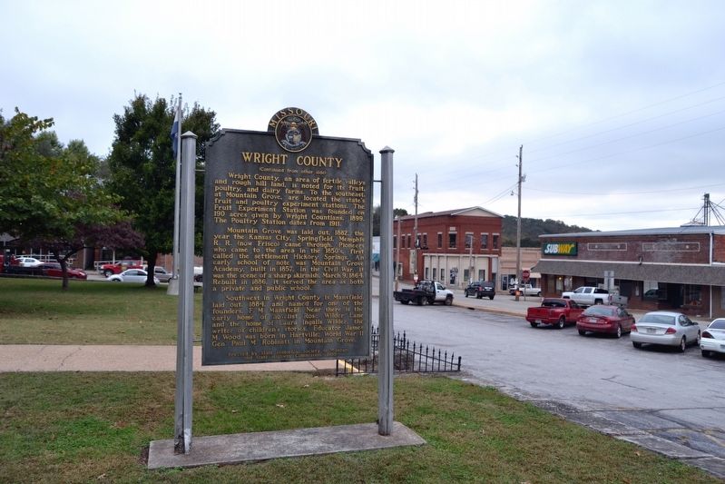
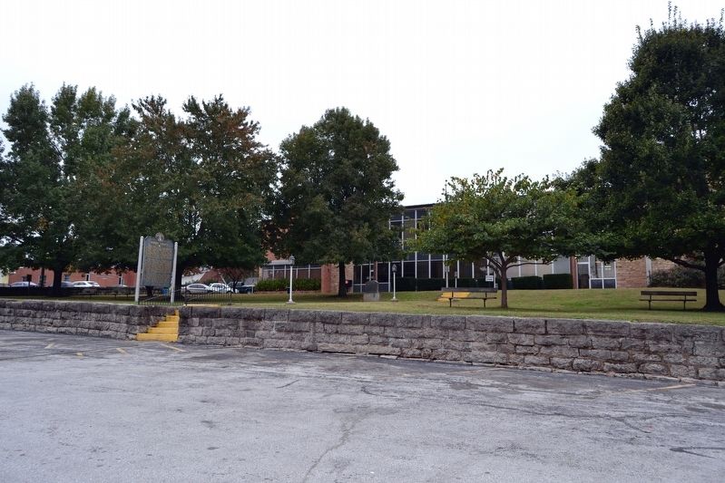
Location. 37° 15.026′ N, 92° 30.635′ W. Marker is in Hartville, Missouri, in Wright County. Marker is at the intersection of S. Main Avenue (State Highway 5) and W. Rolla Street (State Highway 38), on the right when traveling south on S. Main Avenue. Marker is located on the east side of the grounds of the Wright County Courthouse. Touch for map. Marker is in this post office area: Hartville MO 65667, United States of America. Touch for directions.
Other nearby markers. At least 8 other markers are within 11 miles of this marker, measured as the crow flies. Wright County "Lest We Forget" Memorial (a few steps from this marker); The Battle of Hartville (about 700 feet away, measured in a direct line); Battle of Hartville Confederate Monument (about 800 feet away); Veterans Memorial (approx. 10.3 miles away); Laura Ingalls Wilder (approx. 10.7 miles away); War Memorial (approx. 10.7 miles away); Carl "Sub" Mays (approx. 10.7 miles away); The Wilder Home / The Little House Books Began Here (approx. 10.8 miles away). Touch for a list and map of all markers in Hartville.
Credits. This page was last revised on November 1, 2016. It was originally submitted on November 1, 2016, by Duane Hall of Abilene, Texas. This page has been viewed 613 times since then and 58 times this year. Photos: 1, 2, 3, 4. submitted on November 1, 2016, by Duane Hall of Abilene, Texas.


