Adams Morgan in Northwest Washington in Washington, District of Columbia — The American Northeast (Mid-Atlantic)
Walter Pierce Park
Roads to Diversity
— Adams Morgan Heritage Trail —
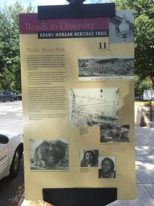
The Rock Creek Valley, once home to Native Americans, had attracted European settlers by 1703. Before he became president in 1825, John Quincy Adams purchased Adams Mills on Rock Creek from his cousin. The mills, just down the hill, processed flour and plaster. While other millers here relied on slave labor, the anti-slavery Adams refused to do so.
The park to your left was once part of a pair of cemeteries established back when this hilltop lay beyond the city limits. After the Smithsonian began building the National Zoo in 1889, the cemetery associations moved remains nearest the zoo to other locations, including Woodlawn Cemetery in Southeast Washington.
In 1941 excavations began for new apartments where the park is today. In 1981 residents succeeded in creating Community Park West on the empty site. In 1991 the park was re-named for the late Walter Pierce, a high-profile member of the coalition that created it. That coalition included Washington’s Society of Friends (Quakers) and Charlotte Filmore, founder of the Filmore Early Learning Center. Filmore was born in 1898 and lived to the age of 104. Her center provided low-cost and free day care to more than 500 African-American children. Its last location was 1811 Ontario Place, to your right.
During winter you can see a mansion on the Zoo grounds. It is Holt House, named for a physician, Dr. Henry Holt, who farmed the area.
Erected 2005 by Cultural Tourism DC. (Marker Number 11.)
Topics and series. This historical marker is listed in these topic lists: African Americans • Cemeteries & Burial Sites • Charity & Public Work • Parks & Recreational Areas. In addition, it is included in the Adams Morgan Heritage Trail, and the Former U.S. Presidents: #06 John Quincy Adams series lists. A significant historical year for this entry is 1703.
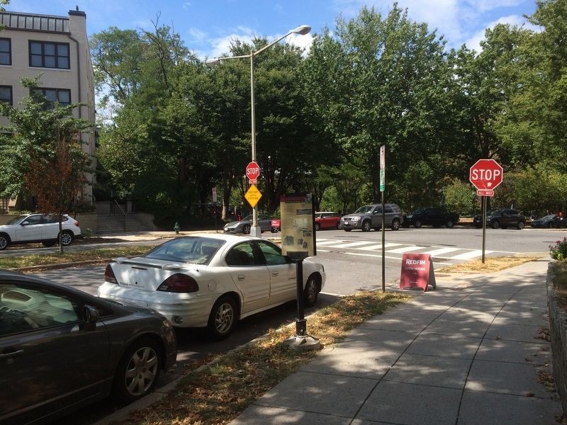
Location. 38° 55.435′ N, 77° 2.668′ W. Marker is in Northwest Washington in Washington, District of Columbia. It is in Adams Morgan. Marker can be reached from Adams Mill Road Northwest south of Ontario Place Northwest, on the right when traveling north. Touch for map. Marker is at or near this postal address: 2633 Adams Mill Road Northwest, Washington DC 20009, United States of America. Touch for directions.
Other nearby markers. At least 8 other markers are within walking distance of this marker. "Suburban" Development (about 400 feet away, measured in a direct line); A People Without Murals Is A Demuralized People (about 500 feet away); Tragedy at 18th and Columbia (about 600 feet away); Serving the Neighborhood (about 800 feet away); Archaeology in Adams Morgan: Surveying the Walter Pierce Park Cemeteries, 2005-2013 (approx. 0.2 miles away); Soldiers, Sailors, and Refugees of War (approx. 0.2 miles away); Rediscovery and Remembrance (approx. 0.2 miles away); Seeking Freedom (approx. 0.2 miles away). Touch for a list and map of all markers in Northwest Washington.
Additional commentary.
1. Captions from the marker
During the Civil War, Cliffburne Barracks and Hospital occupied this area.
1909 map shows where the Society of Friends and Union Benevolent Association cemeteries once were located.
Planting a garden in Community Park West, 1978.
Henry Holt, son of Dr. Henry Holt and last private owner of Holt House, sits in front of the house, 1899.
Walter Pierce, above, and Charlotte Filmore, two leaders in efforts to create a park.
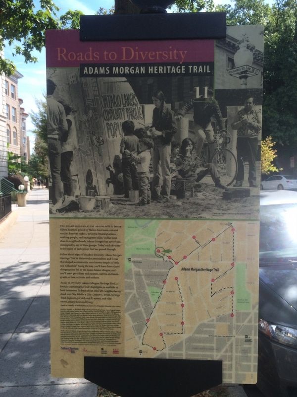
Clean-up Day in Community Park West, 1978
The Washington Post
— Submitted May 19, 2020, by Devry Becker Jones of Washington, District of Columbia.
Credits. This page was last revised on January 30, 2023. It was originally submitted on November 5, 2016, by J. Makali Bruton of Accra, Ghana. This page has been viewed 663 times since then and 34 times this year. Last updated on March 7, 2019, by Devry Becker Jones of Washington, District of Columbia. Photos: 1, 2, 3, 4. submitted on November 5, 2016, by J. Makali Bruton of Accra, Ghana.


