Near Lebanon in Marion County, Kentucky — The American South (East South Central)
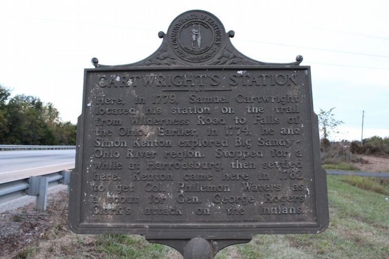
Cartwright's Station
Erected 1970 by Kentucky Historical Society & Kentucky Department of Highways. (Marker Number 1339.)
Topics. This historical marker is listed in these topic lists: Colonial Era • Native Americans • Settlements & Settlers. A significant historical year for this entry is 1779.
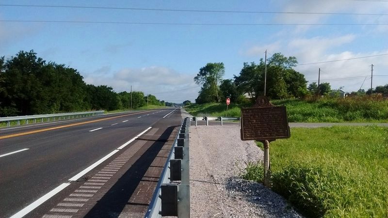
Location. 37° 36.267′ N, 85° 15.05′ W. Marker is near Lebanon, Kentucky, in Marion County. Marker is at the intersection of Springfield Road (Kentucky Route 55) and Radio Station Road, on the right when traveling north on Springfield Road. Touch for map. Marker is in this post office area: Lebanon KY 40033, United States of America. Touch for directions.
Other nearby markers. At least 8 other markers are within 3 miles of this marker, measured as the crow flies. Morgan's Headquarters (approx. 2 miles away); Major General George H. Thomas at Lebanon, Kentucky (approx. 2.2 miles away); Eminent Theologian (approx. 2.3 miles away); The Maxwell House was Set on Fire by Morgan's Troops July 5th, 1863 (approx. 2.3 miles away); Marion County Veterans Memorial (approx. 2.3 miles away); Home of Dr. Ben Spalding on July 5, 1863 (approx. 2.3 miles away); Rosenwald School (approx. 2.3 miles away); In Memory of our Fallen Comrades (approx. 2.4 miles away). Touch for a list and map of all markers in Lebanon.
Also see . . . Cartwright’s Station. (Submitted on November 7, 2016, by Tom Bosse of Jefferson City, Tennessee.)
Credits. This page was last revised on July 13, 2020. It was originally submitted on November 7, 2016, by Tom Bosse of Jefferson City, Tennessee. This page has been viewed 484 times since then and 35 times this year. Photos: 1. submitted on November 7, 2016, by Tom Bosse of Jefferson City, Tennessee. 2. submitted on July 12, 2020, by Tom Bosse of Jefferson City, Tennessee. • Bill Pfingsten was the editor who published this page.

