Downieville in Sierra County, California — The American West (Pacific Coastal)
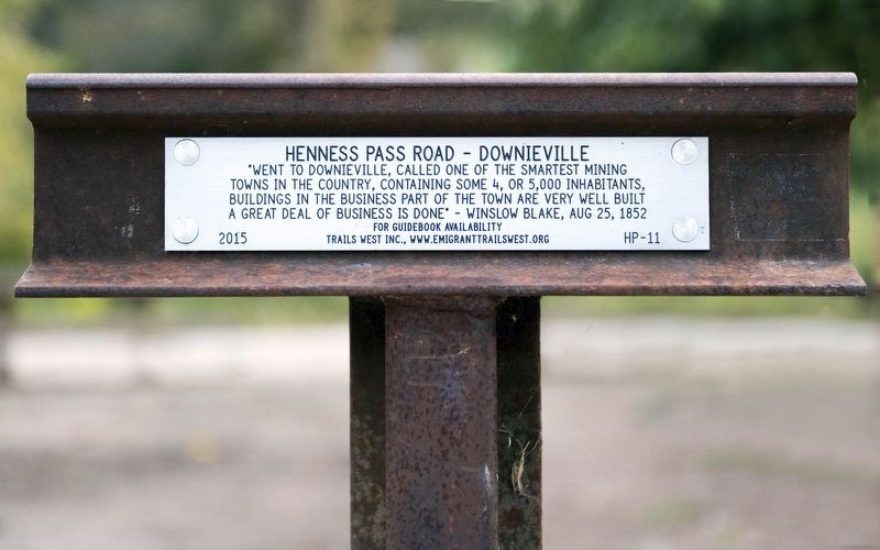
Henness Pass Road - Downieville
Erected 2015 by Trails West Inc. (Marker Number HP-11.)
Topics and series. This historical marker is listed in these topic lists: Roads & Vehicles • Settlements & Settlers. In addition, it is included in the California Trail, the Henness Pass, and the Trails West Inc. series lists. A significant historical date for this entry is August 25, 1852.
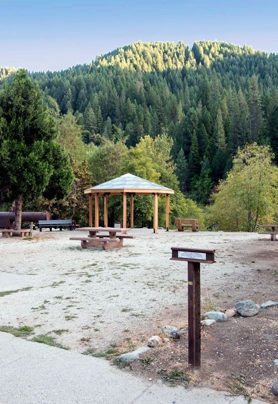
Location. 39° 33.601′ N, 120° 49.742′ W. Marker is in Downieville, California, in Sierra County. Marker is at the intersection of Main Street and Nevada Street, on the right when traveling east on Main Street. The marker is in a parking lot on the southeast corner of Main Street and Nevada Street. The marker is at the entrance to the small park on the right bank of the Downie River. Touch for map. Marker is at or near this postal address: 116 Main Street, Downieville CA 95936, United States of America. Touch for directions.
Other nearby markers. At least 8 other markers are within walking distance of this marker. Hirshfeldter Building (within shouting distance of this marker); Downieville Veterans Memorial (within shouting distance of this marker); Craycroft Building (about 300 feet away, measured in a direct line); In Memory of Juanita (about 300 feet away); St. Charles Hotel (about 300 feet away); The Shooting of Thaddeus Purdy (about 300 feet away); Masonic Building (about 400 feet away); Mackerman & Company Building (about 400 feet away). Touch for a list and map of all markers in Downieville.
Credits. This page was last revised on November 16, 2016. It was originally submitted on November 15, 2016, by Alvis Hendley of San Francisco, California. This page has been viewed 306 times since then and 14 times this year. Photos: 1, 2. submitted on November 15, 2016, by Alvis Hendley of San Francisco, California. • Syd Whittle was the editor who published this page.

