Kernersville in Forsyth County, North Carolina — The American South (South Atlantic)
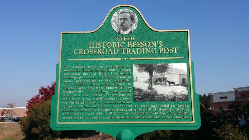
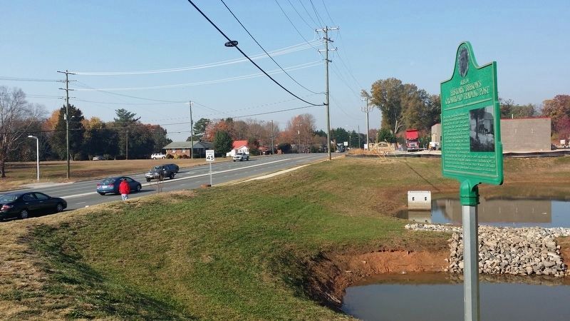
Site of Historic Beeson's Crossroad Trading Post
Inscription.
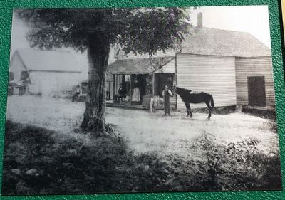
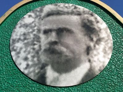
The trading post was established by Joseph H. Beeson in the 1880's. Joseph converted the old Haley Inn into a trading post that provided essential goods and services to the community that extended from Sedge Garden to Teague Town and from Bunker Hill to Kernersville. The trading post/general store was the center of community activity, as it was a polling place, a place for entertainment, a communication center, and the only place in the area to meet and socialize. Joseph Beeson operated the trading post/general store until his death in 1917, at which time it was sold to R.T. Joyce and Baxter Whicker. The facility continues to be used as a general store/service station for several decades.
Topics. This historical marker is listed in these topic lists: Industry & Commerce • Settlements & Settlers. A significant historical year for this entry is 1880.
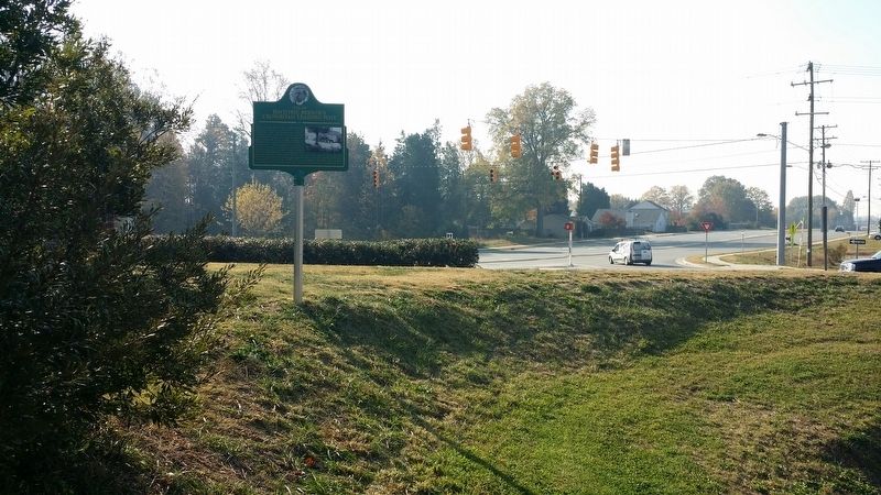
Location. 36° 5.187′ N, 80° 6.059′ W. Marker is in Kernersville, North Carolina, in Forsyth County. Marker is at the intersection of Union Cross Road and Sedge Garden Road, on the left when traveling north on Union Cross Road. Touch for map. Marker is in this post office area: Julian NC 27283, United States of America. Touch for directions.
Other nearby markers. At least 8 other markers are within 6 miles of this marker, measured as the crow flies. Maynard Field (approx. 2.4 miles away); Kerner Tannery (approx. 2˝ miles away); Dedicated to the Memory (approx. 2.8 miles away); Site of Dobson's Tavern (approx. 2.8 miles away); Daniel Boone Trail (approx. 2.8 miles away); Railroad Street Mural (approx. 3 miles away); Tri City Speedway (approx. 5.6 miles away); Abbotts Creek Primitive Baptist Church Cemetery (approx. 5.7 miles away). Touch for a list and map of all markers in Kernersville.
Credits. This page was last revised on November 19, 2016. It was originally submitted on November 19, 2016, by Michael C. Wilcox of Winston-Salem, North Carolina. This page has been viewed 878 times since then and 92 times this year. Photos: 1, 2, 3, 4, 5. submitted on November 19, 2016, by Michael C. Wilcox of Winston-Salem, North Carolina.
