Near Lynchburg in Bedford County, Virginia — The American South (Mid-Atlantic)
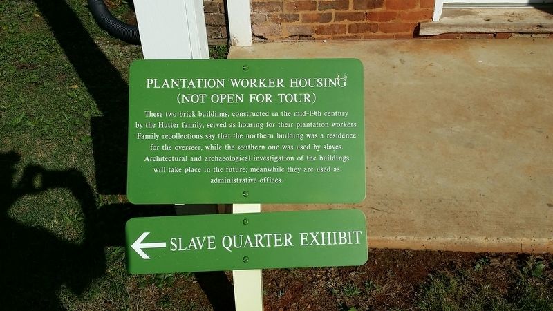
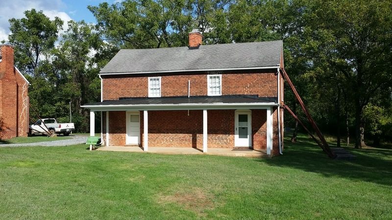
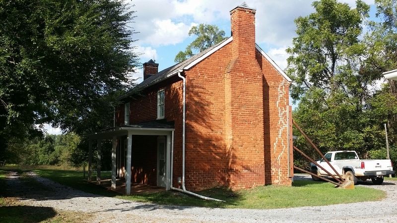
Plantation Worker Housing
Topics. This historical marker is listed in these topic lists: African Americans • Agriculture • Man-Made Features • Settlements & Settlers. A significant historical year for this entry is 1850.
Location. 37° 20.881′ N, 79° 15.821′ W. Marker is near Lynchburg, Virginia, in Bedford County. Marker is on Bateman Bridge Road. Located on the grounds of Thomas Jefferson's Poplar Forest. Touch for map. Marker is in this post office area: Forest VA 24551, United States of America. Touch for directions.
Other nearby markers. At least 8 other markers are within 4 miles of this marker, measured as the crow flies. "A Culture Productive of Infinite Wretchedness” (within shouting distance of this marker); Poplar Forest Planting Memorandum 1812 (about 300 feet away, measured in a direct line); “I have this summer built a wing of offices...” (about 300 feet away); Transforming a Plantation into a Private Retreat, 1806—1826 (about 400 feet away); Mounds Made of Ideas and Sweat (about 400 feet away); Crafting a Masterpiece, Longing for Home (about 400 feet away); St. Stephen's Church (approx. 2½ miles away); Samuel Miller (approx. 3.2 miles away). Touch for a list and map of all markers in Lynchburg.
Credits. This page was last revised on November 20, 2016. It was originally submitted on November 19, 2016, by Michael C. Wilcox of Winston-Salem, North Carolina. This page has been viewed 306 times since then and 22 times this year. Photos: 1, 2, 3. submitted on November 19, 2016, by Michael C. Wilcox of Winston-Salem, North Carolina.


