Near Tulia in Swisher County, Texas — The American South (West South Central)
Palo Duro Canyon
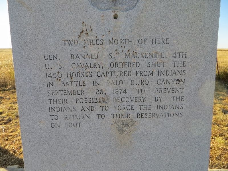
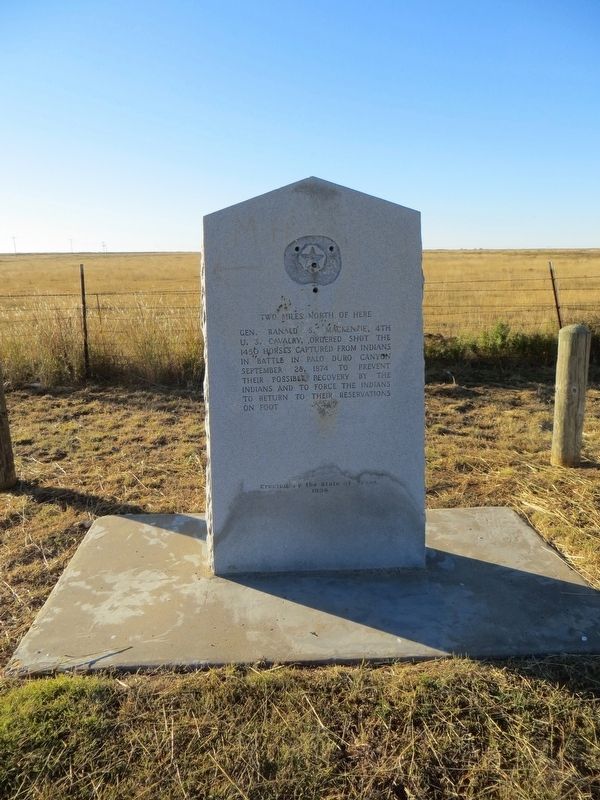
Gen. Ranald S. Mackenzie, 4th U.S. Cavalry, ordered shot the 1450 horses captured from Indians in battle in Palo Duro Canyon, September 28, 1874, to prevent their possible recovery by the Indians and to force the Indians to return to their reservations on foot.
Erected 1936 by State of Texas. (Marker Number 3918.)
Topics and series. This historical marker is listed in this topic list: Wars, US Indian. In addition, it is included in the Texas 1936 Centennial Markers and Monuments series list. A significant historical date for this entry is September 28, 1874.
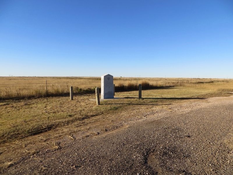
Location. 34° 28.608′ N, 101° 32.119′ W. Marker is near Tulia, Texas, in Swisher County. Marker is on State Highway 86, 2˝ miles east of Farm to Market Road 2301, on the right when traveling east. Touch for map. Marker is in this post office area: Tulia TX 79088, United States of America. Touch for directions.
Other nearby markers. At least 8 other markers are within 13 miles of this marker, measured as the crow flies. Quanah Parker Trail (a few steps from this marker); Site of Celtic Post Office (approx. 6.7 miles away); Archeological Sites at Mackenzie Reservoir and Tule Canyon (approx. 7˝ miles away); First Baptist Church of Claytonville (approx. 7˝ miles away); Francis School (approx. 8.4 miles away); Milo Cemetery (approx. 9.4 miles away); a different marker also named Quanah Parker Trail (approx. 12.3 miles away); The Vigo Park Methodist Church (approx. 12.3 miles away). Touch for a list and map of all markers in Tulia.
Credits. This page was last revised on November 20, 2016. It was originally submitted on November 20, 2016, by Bill Kirchner of Tucson, Arizona. This page has been viewed 740 times since then and 48 times this year. Photos: 1, 2, 3. submitted on November 20, 2016, by Bill Kirchner of Tucson, Arizona.


