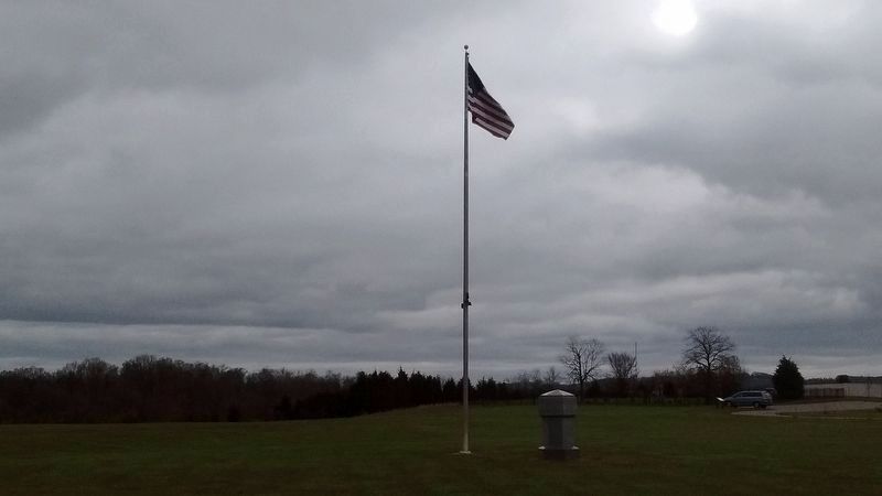
Near Mohawk in Greene County, Tennessee — The American South (East South Central)
Execution of the "Bridge-Burners"
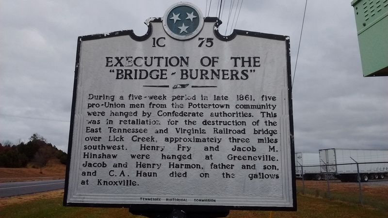
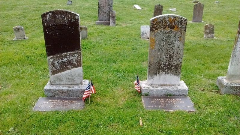
During a five-week period in late 1861, five pro-Union men from the Pottertown community were hanged by Confederate authorities. This was in retaliation for the destruction of the East Tennessee and Virginia railroad bridge over Lick Creek, approximately three miles southwest. Henry Fry and Jacob M. Hinshaw were hanged at Greeneville. Jacob and Henry Harmon, father and son, and C.A. Haun died on the gallows at Knoxville.
Erected by Tennessee Historical Commission. (Marker Number 1C 75.)
Topics and series. This historical marker is listed in this topic list: War, US Civil. In addition, it is included in the Tennessee Historical Commission series list. A significant historical year for this entry is 1861.
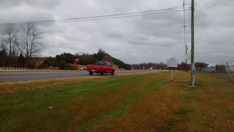
Location. 36° 12.558′ N, 83° 0.848′ W. Marker is near Mohawk, Tennessee, in Greene County. Marker is at the intersection of West Andrew Johnson Highway (U.S. 11E) and Bridge Burners Boulevard, on the right when traveling east on West Andrew Johnson Highway. Touch for map. Marker is in this post office area: Mosheim TN 37818, United States of America. Touch for directions.
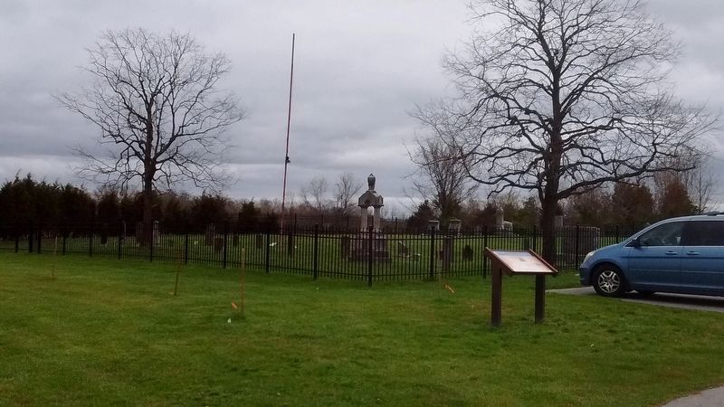
Other nearby markers. At least 8 other markers are within 7 miles of this marker, measured as the crow flies. Pottertown Bridge Burners (approx. 0.6 miles away); Bridge Burners Monument (approx. 0.6 miles away); Blue Springs Lutheran Congregation (approx. 3.4 miles away); Blue Springs Church and Cemetery (approx. 3.4 miles away); Battles of Blue Springs (approx. 4.7 miles away); Battle of Blue Springs (approx. 4.8 miles away); Archie Campbell (approx. 5.1 miles away); Carter's Station (approx. 6.2 miles away).
Also see . . . East Tennessee bridge burnings. Wikipedia (Submitted on November 20, 2016, by Tom Bosse of Jefferson City, Tennessee.)
Credits. This page was last revised on October 4, 2018. It was originally submitted on November 20, 2016, by Tom Bosse of Jefferson City, Tennessee. This page has been viewed 1,095 times since then and 80 times this year. Photos: 1, 2. submitted on November 20, 2016, by Tom Bosse of Jefferson City, Tennessee. 3, 4, 5. submitted on April 1, 2017, by Tom Bosse of Jefferson City, Tennessee. • Bernard Fisher was the editor who published this page.
