Neville in Clermont County, Ohio — The American Midwest (Great Lakes)
Neville
1812
— Clermont County Bicentennial Marker —
Bicentennial Marker
Neville – 1812
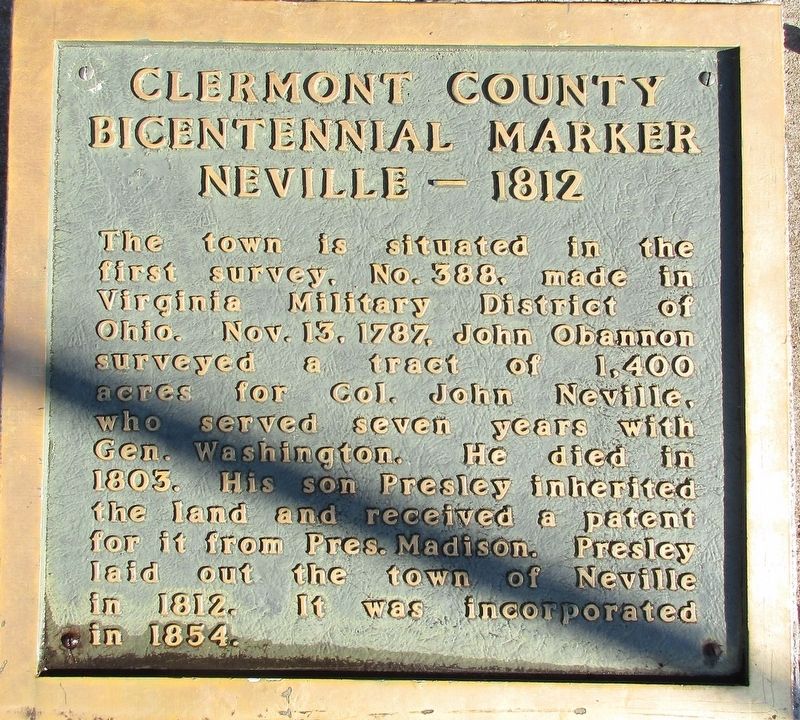
The town is situated in the first survey, No, 388, made in the Virginia Military District of Ohio. Nov. 13, 1787, John Obannon surveyed a tract of 1,400 acres for Col. John Neville, who served seven years with Gen. Washington. He died in 1803. His son Presley inherited the land and received a patent for it from Pres. Madison. Presley laid out the town of Neville in 1812.It was incorporated in 1854.
Topics. This historical marker is listed in this topic list: Settlements & Settlers. A significant historical year for this entry is 1812.
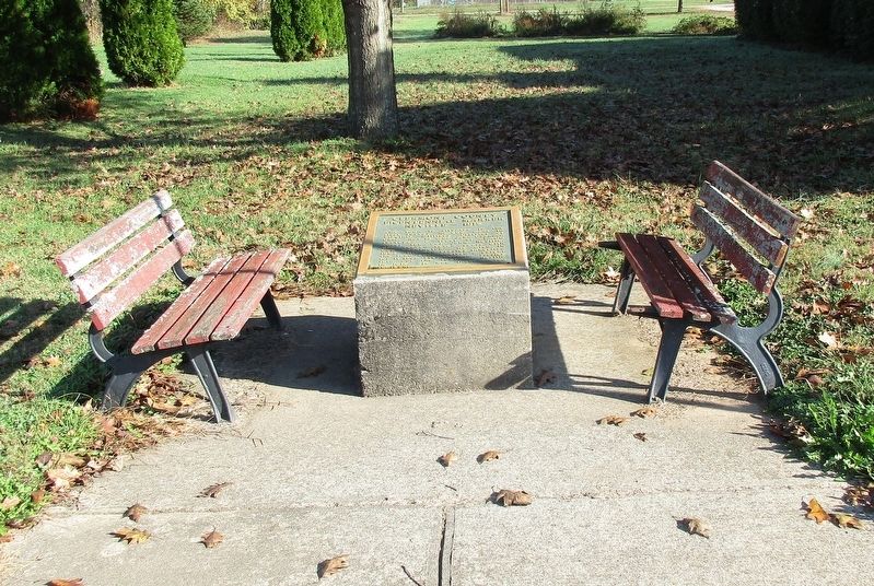
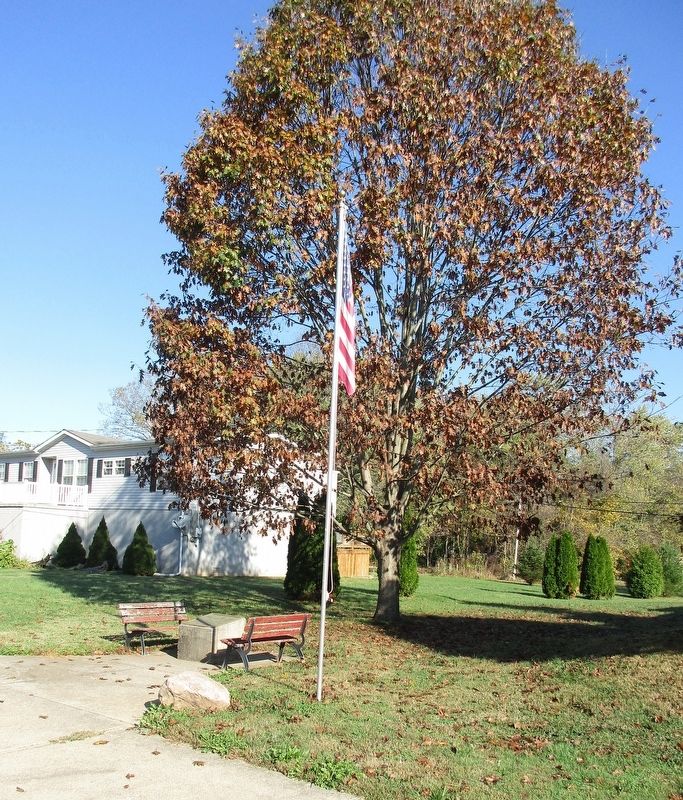
Location. 38° 48.558′ N, 84° 12.63′ W. Marker is in Neville, Ohio, in Clermont County. Marker is at the intersection of Ohio River Scenic Byway (U.S. 52) and Coffee Street, on the left when traveling east on Ohio River Scenic Byway. Touch for map. Marker is at or near this postal address: 608 Main Street, Neville OH 45156, United States of America. Touch for directions.
Other nearby markers. At least 8 other markers are within 5 miles of this marker, measured as the crow flies. Neville Veterans Memorial (about 700 feet away, measured in a direct line); Kenton Ambushes Indians (approx. half a mile away in Kentucky); Bold House (approx. 0.7 miles away in Kentucky); Edgington Mound (approx. 1.1 miles away); M60A3 Battle Tank (approx. 3.4 miles away); Moscow War Memorial (approx. 3.4 miles away); Diana Whitney Memorial (approx. 3.6 miles away); Bradford Schoolhouse (approx. 4.3 miles away in Kentucky). Touch for a list and map of all markers in Neville.
Credits. This page was last revised on August 28, 2022. It was originally submitted on November 22, 2016, by Rev. Ronald Irick of West Liberty, Ohio. This page has been viewed 403 times since then and 26 times this year. Photos: 1, 2, 3. submitted on November 22, 2016, by Rev. Ronald Irick of West Liberty, Ohio. • Bill Pfingsten was the editor who published this page.


