Marker Logo HMdb.org THE HISTORICAL
MARKER DATABASE
“Bite-Size Bits of Local, National, and Global History”
Felicity in Clermont County, Ohio — The American Midwest (Great Lakes)
 

Felicity Underground Railroad


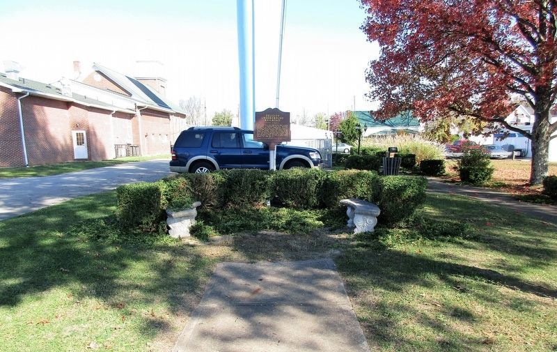
Felicity Underground Railroad Marker image. Click for full size.
Photographed By Rev. Ronald Irick, November 5, 2016
1. Felicity Underground Railroad Marker
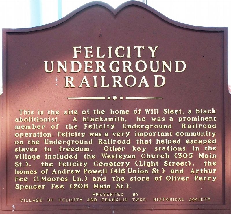
Inscription. This is the site of the home of William Sleet, a black abolitionist. A blacksmith, he was a prominent member of the Felicity Underground Railroad operation. Felicity was a very important community on the Underground Railroad that helped escaped slaves to freedom. Other key stations in the village included the Wesleyan Church (305 Main St.), the Felicity Cemetery (Light Street), the homes of Andrew Powell (416 Union St.) and Arthur Fee (1 Moores Ln.) and the store of Oliver Perry Spencer Fee (208 Main St.).
 
Erected by Village of Felicity and Franklin Twsp. Historical Societty.
 
Topics. This historical marker is listed in this topic list: Abolition & Underground RR.
 
Location. 38° 50.312′ N, 84° 5.851′ W. Marker is in Felicity, Ohio, in Clermont County. Marker is on Harrison Street, on the left when traveling east. Marker is in a small park at the base of the village water tower. Touch for map. Marker is at or near this postal address: 510 Harrison Street, Felicity OH 45120, United States of America. Touch for directions.
 
Other nearby markers. At least 8 other markers are within 4 miles of this marker, measured as the crow flies. Honor Roll 1918 (approx. 0.2 miles away); Felicity Veterans Memorial (approx. 0.2 miles away); Diana Whitney Memorial (approx. 3.8 miles away); The Wakerobin
Paid Advertisement
Click on the ad for more information.
Please report objectionable advertising to the Editor.
Click or scan to see
this page online
(approx. 3.8 miles away); The Garage and Maintenance Shed (approx. 3.8 miles away); The Wood Frame Houses (approx. 3.8 miles away); The “Rye” Field and Water Tower (approx. 3.8 miles away); Chilo Lock & Dam #34 Powerhouse (approx. 3.9 miles away). Touch for a list and map of all markers in Felicity.
 
Felicity Underground Railroad Marker image. Click for full size.
Photographed By Rev. Ronald Irick, November 5, 2016
2. Felicity Underground Railroad Marker
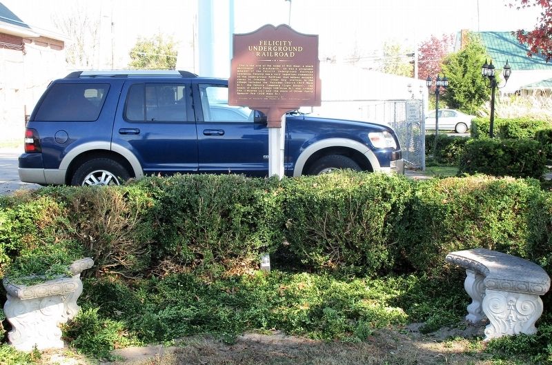
Felicity Underground Railroad Marker image. Click for full size.
Photographed By Rev. Ronald Irick, November 5, 2016
3. Felicity Underground Railroad Marker
Small park near base of water tower
 
 
Credits. This page was last revised on November 26, 2016. It was originally submitted on November 25, 2016, by Rev. Ronald Irick of West Liberty, Ohio. This page has been viewed 769 times since then and 47 times this year. Photos:   1, 2, 3. submitted on November 25, 2016, by Rev. Ronald Irick of West Liberty, Ohio. • Bill Pfingsten was the editor who published this page.
Share this page.  
Share on Tumblr
m=99963

CeraNet Cloud Computing sponsors the Historical Marker Database.
This website earns income from purchases you make after using our links to Amazon.com. We appreciate your support.
Paid Advertisement
Apr. 24, 2024