New River
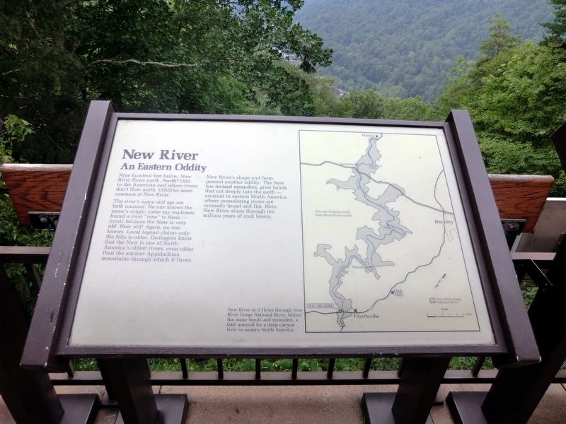
An Eastern Oddity
The riverís name and age are both unusual. No one knows the nameís origin: some say explorers found a river “new” to them---ironic because the New is very old. How old? Again, no one knows. Local legend claims only the Nile is older. Geologists know that the New is one of North Americaís oldest rivers, even older than the ancient Appalachian mountains through which it flows.
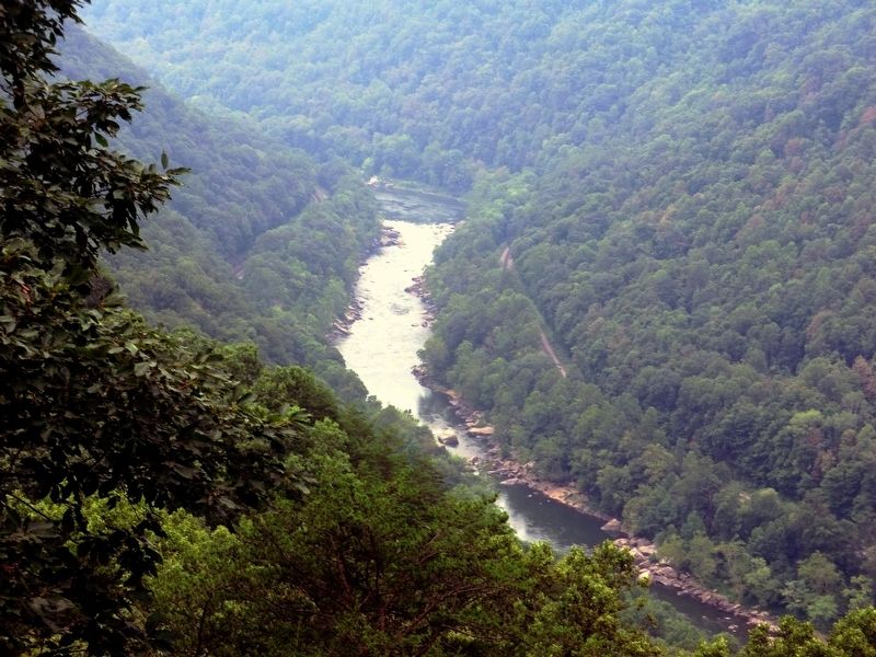
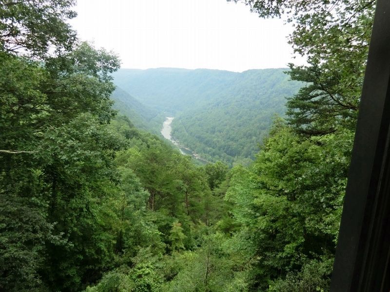
New Riverís shape and form present another oddity. The New has incised meanders, great bends that cut deeply into the earth—unusual in eastern North America where meandering rivers are normally broad and flat. Here, New River slices through ten million years of rock layers.
(Inscription beside the map on the right)
New River as it flows through New River Gorge National River. Notice the many bends and meanders, a trait unusual for a deep-canyon river in eastern North America.
Erected by National Park Service, U.S. Department of the Interior.
Topics. This historical marker is listed in this topic list: Natural Features.
Location. 38° 4.197′ N, 81° 4.561′
Other nearby markers. At least 8 other markers are within walking distance of this marker. The Deceptive Forest (here, next to this marker); Smoke, Coke, Coal, and Kaymoor (a few steps from this marker); New River Gorge Scenic Drives (a few steps from this marker); Industrial Past of the New River Gorge (a few steps from this marker); Trail to Bridge Overlook (within shouting distance of this marker); The Bridge (within shouting distance of this marker); Welcome to New River Gorge National River (within shouting distance of this marker); New River Gorge Bridge (about 300 feet away, measured in a direct line). Touch for a list and map of all markers in Lansing.
Credits. This page was last revised on June 14, 2020. It was originally submitted on November 26, 2016, by Don Morfe of Baltimore, Maryland. This page has been viewed 282 times since then and 18 times this year. Photos: 1, 2, 3, 4. submitted on November 26, 2016, by Don Morfe of Baltimore, Maryland. • Bill Pfingsten was the editor who published this page.


