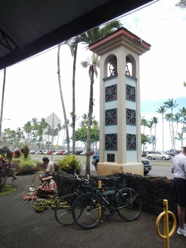
Dedicated to the memory of the people who have contributed to the growth of the Big Island, its economy and its culture through their work on our many island plantations. This bell originally served the Hakalau Sugar Company. — — Map (db m111115) HM
When the first Polynesians landed in Hawai‘i, most of the life they found here was unique to this place. Organisms found only in one place are called endemic — and Hawai‘i has one of the highest rates of endemism on the planet.
The first . . . — — Map (db m123294) HM
Greenwell Store
circa 1875
Has been placed on the
National Register
of Historic Places
by the United States
Department of the Interior
Kona Heritage Store
Greenwell Store
est. ca. 1875
Kona Historical Society & . . . — — Map (db m123293) HM
The Laupahoehoe we see now is very different from the Laupahoehoe of old. Laupahoehoe Point was a peaceful, Hawaian fishing village, untouched by missionaries and plantation life; the valley and the sea provided bountiful life. In the late 1800's . . . — — Map (db m94338) HM
For nearly 30 years, America’s first full-time volcano observatory occupied this site. Under the direction of Dr. Thomas A. Jaggar, world renowned volcanologist, the expertise to monitor and study volcanoes was developed. In 1942, the observatory . . . — — Map (db m2980) HM
In a grass house near this site High Chief Keeaumoku pulled the first sheet in the presence of Elisha Loomis, Printer; the Reverend Hiram Bingham; and James Hunnewell, Mission benefactor. — — Map (db m60945) HM
On this site stood the villa of Chun Afong, Hawai‘i’s first Chinese millionaire, who arrived
in Honolulu in 1849. By 1855, he had made his fortune in retailing, real estate, sugar and rice, and for a long time held the government monopoly opium . . . — — Map (db m49676) HM
Surrounded by this open landscape, one can imagine the huge coconut grove known as Helumoa. Planted by Chief Kakuhihewa around the 15th century, the grove once had nearly 10,000 trees. Kahuamokomoki was an area nearby that served as a sporting . . . — — Map (db m73416) HM
This Rainbow Mural, tallest in the world, 286 feet high, 26 feet wide, comprises 8,046 pieces of hand-painted ceramic tile created for the Hilton Tower by Millard Sheets. Dedicated by Conrad N. Hilton and Fritz B. Burns. November 8, 1968. — — Map (db m19077) HM
The legendary surfer Duke Kahanamoku often strolled the sands of Waikīkī Beach fronting what is now Hilton Hawaiian Village Beach Resort & Spa, 1959.
In ancient times, the coastal plain where you now stand was known as . . . — — Map (db m13082) HM
The Moana Hotel opened on March 11, 1901 as Waikiki’s first hotel. Affectionately called “The First Lady of Waikiki,” this iconic resort embraces true Hawaiian hospitality. Walter Chamberlain Peacock, the original owner of the Moana . . . — — Map (db m73114) HM
This ranch wall stacked stone by stone in the late 1800s, represents an investment in the land. Stretching for two miles, it guided cattle through the harsh landscape of Haleakala to pasture lands on the east and west sides of Maui. The ranching era . . . — — Map (db m71762) HM
This monument commemorates the arrival of the Norwegian barque Beta which dropped anchor near this spot on February 18, 1881, and of her sister ship Musca, which arrived in Honolulu May 13, 1881. They brought more than six hundred . . . — — Map (db m73188) HM