Marker Logo HMdb.org THE HISTORICAL
MARKER DATABASE
“Bite-Size Bits of Local, National, and Global History”


2 entries match your criteria.  


Historical Markers in Petach Tikva, Central District

 
The Egyptian Governor's Residence Marker image, Touch for more information
By Dale K. Benington, March 9, 2013
The Egyptian Governor's Residence Marker
1 Israel, Central District, Petach Tikva, Rosh Ha'ayin — The Egyptian Governor's Residence
Near Yarkon Park Entrance Roadway just north of National Route 483.
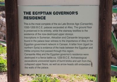
This is the most complete of the six Late Bronze Age (Canaanite), 1550-1200 B.C.E. palaces excavated at Afeq. The ground floor is preserved in its entirety, while the stairway testifies to the existence of the now-destroyed upper storeys. . . . Map (db m64406) HM
2 Israel, Central District, Petach Tikva, Rosh Ha'ayin — The Roman Cardoהקארדו הרומי
On Yarkon Park Entrance Roadway close to National Route 483.
A remnant of the main street of the Roman city of Antipatris. "Cardo" is the name for the main north-south street of a Roman-era city. Shops lined the Cardo, and at its center it was connected to the Forum, the city's central square. Grooves can be . . . Map (db m64445) HM


CeraNet Cloud Computing sponsors the Historical Marker Database.
This website earns income from purchases you make after using our links to Amazon.com. We appreciate your support.
Paid Advertisement
Apr. 24, 2024