4 entries match your criteria.
Related Historical Markers
To better understand the relationship, study each marker in the order shown.
By Ruth VanSteenwyk, May 14, 2016
Lewis & Clark's Historical Markers
SHOWN IN SOURCE-SPECIFIED ORDER
| |
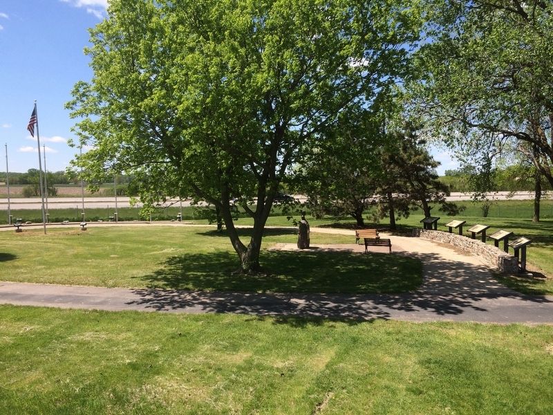
The Corps of Discovery returned to this location after a two-year absence on September 3, 1806. Meriwether Lewis and William Clark found their "Elk sign" campsite occupied by James Aird, a Scottish fur trader. They pressed him eagerly for news . . . — — Map (db m100912) HM |
| |
The Missouri River Valley, up to this location, was well-known to French and British fur trappers. For decades, trappers navigated down the Big Sioux River and the lower Missouri toward St. Louis. Due to the intimidating presence of the Yankton . . . — — Map (db m100914) HM |
| |
While camped at the "Elk Sign" campsite on August 22, 1804, Captains Meriwether Lewis and William Clark acted to replace Sergeant Charles Floyd, who had taken ill and died two days earlier. They called for the Corps of Discovery to vote on . . . — — Map (db m100916) HM |
| | In 1804-06, Captains Meriwether Lewis and William Clark led about 40 soldiers and boatmen on an epic journey. President Thomas Jefferson commissioned this "Corps of Discovery" to find a route to the Pacific Ocean through the newly acquired . . . — — Map (db m100917) HM |
Apr. 19, 2024