4 entries match your criteria.
Related Historical Markers
By Ruth VanSteenwyk, May 22, 2016
Scenic Missouri Valley Marker
SHOWN IN SOURCE-SPECIFIED ORDER
| |
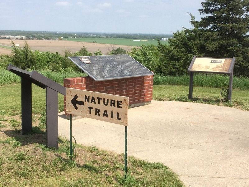
This scenic overlook provides a clear view of the valley of the Missouri River,
the longest waterway in North America. To the west is the Gavins Point Dam and
the Lewis and Clark Recreation Area. The dam was built to harness the fury of
the . . . — — Map (db m101391) HM |
| |
On August 27, 1804, the Lewis and Clark Expedition set up its camp for four days downstream from Calumet Bluff. The explorers came across three American Indian boys who told them of a large Yankton Sioux camp nearby.
Knowing that President . . . — — Map (db m101392) HM |
| |
You are within sight and sound of a Midwestern dream come true - the Meridian Highway.
In 1911 a group of Kansans and Nebraskans drafted a plan for a highway paralleling the sixth principal meridian through America's heartland from Canada . . . — — Map (db m101393) HM |
| |
During their exploration of the Missouri and Columbia Rivers, Lewis and Clark held councils with Ponca, Omaha, and Sioux Indians inhabiting this region. The council with the Sioux occurred August 28-31, 1804 at Calumet Bluff now the southern . . . — — Map (db m101395) HM |
Apr. 23, 2024