Fort Oglethorpe in Catoosa County, Georgia — The American South (South Atlantic)
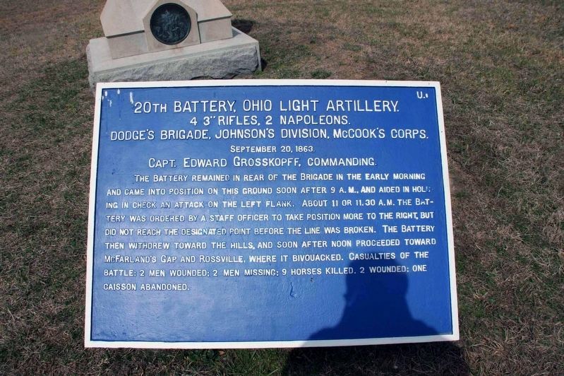
20th Battery, Ohio Light Artillery.
4 3” Rifles, 2 Napoleons.
4 3” Rifles, 2 Napoleons.
Dodge’s Brigade, Johnson’s Division, McCook’s Corps.
September 20, 1863.
Capt. Edward Grosskopff, Commanding.
The Battery remained in the rear of the Brigade in the early morning and came into position on this ground soon after 9 A.M., and aided in holding in check an attacked on the left flank. About 11 or 11:30 A. M. the battery was ordered by a staff officer to take position more to the right, but did not reach the designated point before the line was broken. The battery then withdrew toward the hills, and soon after noon proceeded toward McFarland’s Gap and Rossville, where it bivouacked. Casualties of the battle: 2 men wounded; 2 men missing; 9 horses killed, 2 wounded; one caisson abandoned.
Erected 1890 by War Department. (Marker Number MT-941.)
Topics. This historical marker is listed in this topic list: War, US Civil. A significant historical date for this entry is September 19, 1863.
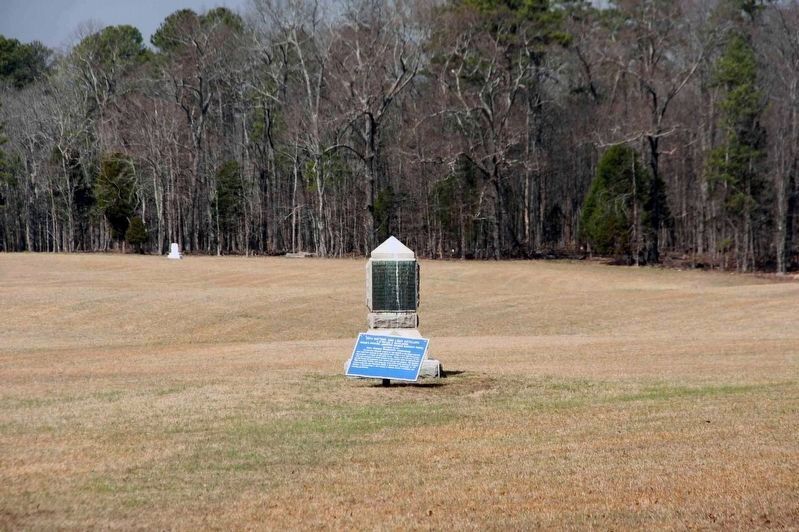
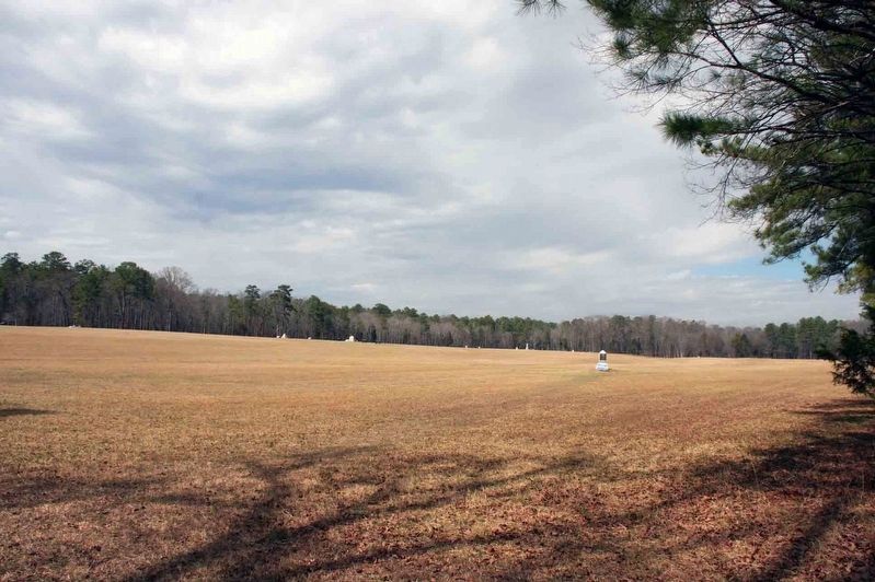
Location. 34° 55.695′ N, 85° 15.451′ W. Marker is in Fort Oglethorpe, Georgia, in Catoosa County. Marker can be reached from Battleline Road, 0.4 miles south of Alexander Bridge Road, on the right when traveling south. This plaque is located on the south eastern edge of Kelly’s Field near the tree line. It can be reached from either Battleline Road, or from the LaFeyette Highway. From Battleline Road, park near the monuments to the 10th and 64th Indiana Infantry Regiments. A path will lead through the tree line. Pass the shell monument to Col. Edward A. King (USA). Touch for map. Marker is in this post office area: Chickamauga GA 30707, United States of America. Touch for directions.
Other nearby markers. At least 8 other markers are within walking distance of this marker. 20th Battery, Ohio Light Artillery (within shouting distance of this marker); Edward A. King Memorial Shell Monument (within shouting distance of this marker); Route of Croxton's Brigade (about 400 feet away, measured in a direct line); To the Opening of the Battle (about 400 feet away); Palmer's Division (about 500 feet away); 124th Ohio Infantry (about 500 feet away); 24th Ohio Infantry (about 500 feet away); Grose's Brigade (about 500 feet away). Touch for a list and map of all markers in Fort Oglethorpe.
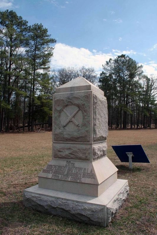
Regarding 20th Battery, Ohio Light Artillery.. The battery was in active service from October 29, 1862, to July 19, 1865. This plaque is blue indicating it is for a Federal unit. The plaques were installed by the War Department in 1890. The monument to the 20th Battery, Ohio Light Artillery stands next to this tablet.
Related marker. Click here for another marker that is related to this marker.
Also see . . .
1. 20th Ohio Independent Battery. (Submitted on May 26, 2017, by Byron Hooks of Sandy Springs, Georgia.)
2. Chickamauga & Chattanooga National Military Park. National Park Service (Submitted on May 27, 2017.)
Credits. This page was last revised on May 27, 2017. It was originally submitted on May 26, 2017, by Byron Hooks of Sandy Springs, Georgia. This page has been viewed 225 times since then and 17 times this year. Photos: 1, 2, 3, 4. submitted on May 26, 2017, by Byron Hooks of Sandy Springs, Georgia. • Bernard Fisher was the editor who published this page.


