Crown Point in Essex County, New York — The American Northeast (Mid-Atlantic)
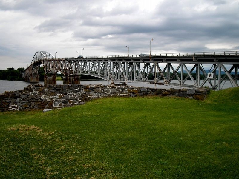
The 1929 Lake Champlain Bridge
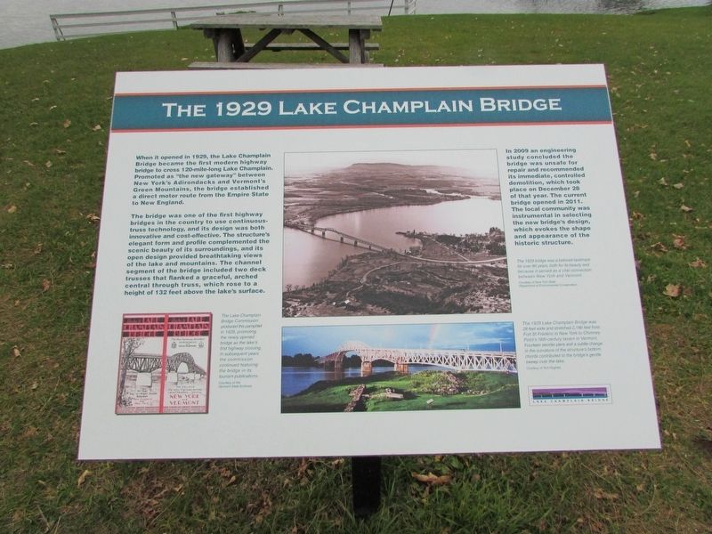
When it opened in 1929, the Lake Champlain Bridge became the first modern highway bridge to cross 120-mile-long Lake Champlain. Promoted as “the new gateway” between New York’s Adirondacks and Vermont’s Green Mountains, the bridge established a direct motor route from the Empire State to New England.
The bridge was one of the first highway bridges in the country to use continuous-truss technology, and its design was both innovative and cost-effective. The structure’s elegant form and profile complemented the scenic beauty of its surroundings, and its open design provided breathtaking views of the lake and mountains. The channel segment of the bridge included two deck trusses that flanked a graceful, arched central through truss, which rose to a height of 132 feet above the lake’s surface.
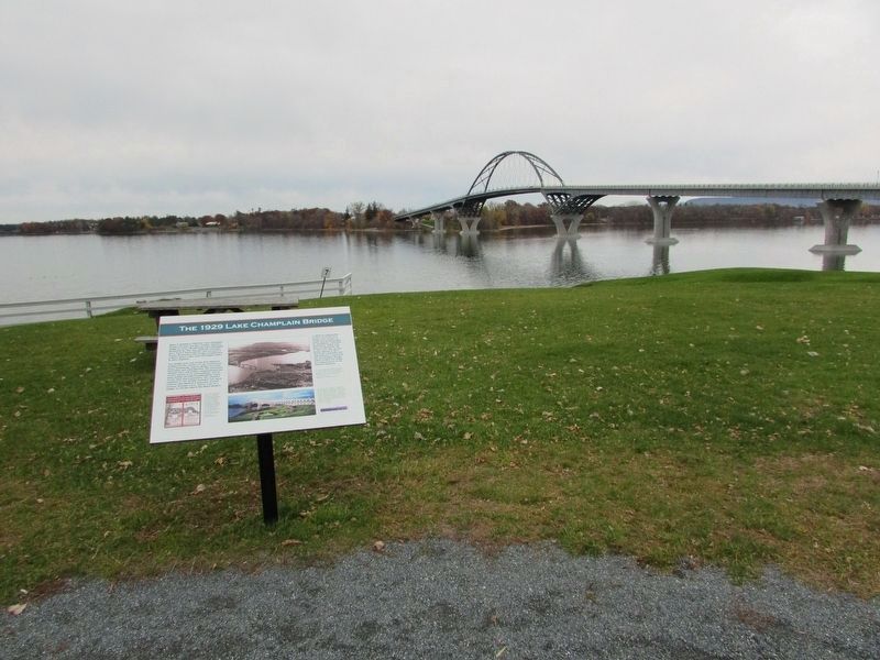
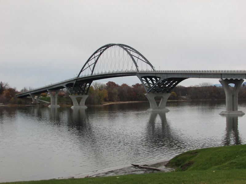
In 2009 an engineering study concluded the bridge was unsafe for repair and recommended its immediate, controlled demolition, which took place on December 28 of that year. This current bridge opened in 2011. The local community was instrumental in selecting the new bridge’s design, which evokes the shape and appearance of the historic structure.
Topics. This historical marker is listed in this topic list: Bridges & Viaducts.
Location. 44° 1.849′ N, 73° 25.618′ W. Marker is in Crown Point, New York, in Essex County. Marker is in Crown Point State Historic Site, along the Fort St. Frédéric walking trail. Touch for map. Marker is in this post office area: Crown Point NY 12928, United States of America. Touch for directions.
Other nearby markers. At least 8 other markers are within walking distance of this marker. Fort St. Frédéric (within shouting distance of this marker); The White Flag (about 300 feet away, measured in a direct line); The French at Crown Point (about 300 feet away); Crown Point: Military Focus (about 400 feet away); Welcome To Crown Point State Historic Site (about 400 feet away); Crown Point (about 400 feet away); Selecting a Bridge Location (about 400 feet away); Gen. Henry Knox Trail (about 400 feet away). Touch for a list and map of all markers in Crown Point.
More about this marker. An image at the bottom left of the marker contains the caption “The Lake Champlain Bridge Commission produced this pamphlet in 1929, promoting the newly opened bridge as the lake’s first highway crossing. In subsequent years the commission continued featuring the bridge in its tourism publicans.”
Two photographs of the original bridge appear at the center of the marker. These include captions of “The 1929 bridge was a beloved landmark for over 80 years, both for its beauty and because it served as a vital connection between New York and Vermont.” and “
The 1929 Lake Champlain Bridge was 28 feet wide and stretched 2,186 feet from Fort St. Frédéric in New York to Chimney Point’s 18th-century tavern in Vermont. Fourteen slender piers and a subtle change in the curvature of the structure’s bottom chords contributed to the bridge’s gentle sweep over the lake.”
Related markers. Click here for a list of markers that are related to this marker.
Credits. This page was last revised on November 13, 2018. It was originally submitted on November 13, 2018, by Bill Coughlin of Woodland Park, New Jersey. This page has been viewed 192 times since then and 27 times this year. Photos: 1, 2, 3, 4, 5. submitted on November 13, 2018, by Bill Coughlin of Woodland Park, New Jersey.
