Near Interior in Jackson County, South Dakota — The American Midwest (Upper Plains)
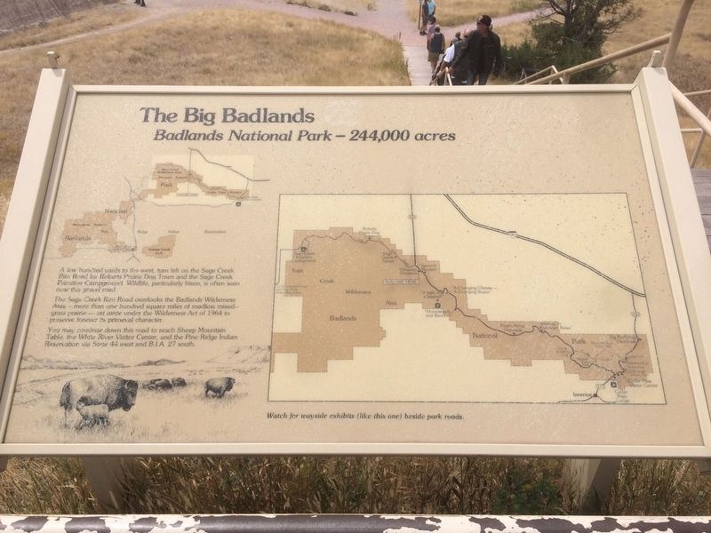
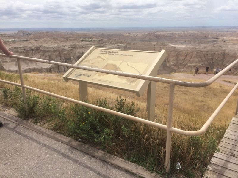
The Big Badlands
Badlands National Park - 244,000 acres
A few hundred yards to the west, turn left on the sage Creek Rim Road for Roberts Prairie Dog Town and the Sage Creek Primitive Campground. Wildlife, particularly bison, is often seen near this gravel road.
The Sage Creek Rim Road overlooks the Badlands Wilderness Area - more than one hundred square miles of roadless mixed- grass prairie - set aside under the Wilderness Act of 1964 to preserve forever its primeval character.
You may continue down this road to reach Sheep Mountain Table, the White River Visitor Center, and Pine Ridge Indian Reservation via State 44 west and B.I.S. 27 south.
Topics. This historical marker is listed in this topic list: Parks & Recreational Areas. A significant historical year for this entry is 1964.
Location. 43° 52.167′ N, 102° 13.993′ W. Marker is near Interior, South Dakota, in Jackson County. Marker is on State Highway 240. Marker is located at the Badlands Pinnacles Overlook. Touch for map. Marker is in this post office area: Interior SD 57750, United States of America. Touch for directions.
Other nearby markers. At least 8 other markers are within 17 miles of this marker, measured as the crow flies. Born of Volcanos (about 400 feet away, measured in a direct line); Jungle on a Seabed (approx. 2.6 miles away); Homesteads and Ranches (approx. 4.4 miles away); High Security (approx. 5.7 miles away); Journey to Wounded Knee (approx. 7.4 miles away); The Carrol McDonald Post No. 246 (approx. 8.6 miles away); Purple Heart Memorial Highway (approx. 16.8 miles away); Cheyenne River Rest Area (approx. 16.8 miles away).
Related markers. Click here for a list of markers that are related to this marker.
Also see . . . Badlands National Park. (Submitted on January 21, 2018, by Ruth VanSteenwyk of Aberdeen, South Dakota.)
Credits. This page was last revised on January 23, 2018. It was originally submitted on January 21, 2018, by Ruth VanSteenwyk of Aberdeen, South Dakota. This page has been viewed 262 times since then and 15 times this year. Photos: 1, 2. submitted on January 21, 2018, by Ruth VanSteenwyk of Aberdeen, South Dakota. • Andrew Ruppenstein was the editor who published this page.

