2 entries match your criteria.
Related Historical Markers
By Cosmos Mariner, July 10, 2015
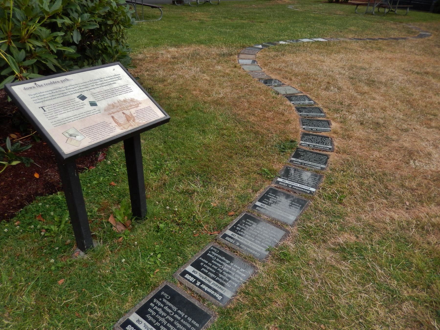
"down the trodden path..." Marker (wide view; showing black granite tiles along the path)
SHOWN IN SOURCE-SPECIFIED ORDER
| 1 ► Oregon, Columbia County, St. Helens — down the trodden path... — |
| The path before you represents the Corps of Discovery's journey on the Columbia River – from its confluence with the Snake to the Pacific Ocean. Entering the Columbia in mid-October 1805, they travelled along the river from shore to shore . . . — — Map (db m113154) HM | |||
| 2 ► Oregon, Columbia County, St. Helens — Lewis & Clark Discovery Trail — |
| In 1804-06, Captains Meriwether Lewis and William Clark led 31 men and one dog on an epic journey. President Thomas Jefferson commissioned this "Corps of Discovery" to find a route to the Pacific Ocean through the newly acquired Louisiana . . . — — Map (db m113155) HM | |||