3 entries match your criteria.
Related Historical Markers
Coos Bay Transportation
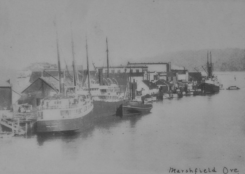
By Victor West, circa 1900
Marker detail: Alliance, M.P. Plants and Breakwater
SHOWN IN SOURCE-SPECIFIED ORDER
| |
Most travel was on water;
roads and rail lines were limited in the early days.
Passenger ships called at the Port of Coos Bay regularly.
Travel by water was faster, and much more predictable than by land.
In the early . . . — — Map (db m114149) HM |
| |
Travel by land was difficult until about 1915.
The road between Marshfield and North Bend was not completed until 1912. Most people continued to travel by small boats around Coos Bay for several more years.
Mosquito Fleet
. . . — — Map (db m114148) HM |
| |
In 1872, the Coos Bay Wagon Road was completed.
The road, which connected Coos Bay Roseburg, was 58 miles long. A stagecoach could make the trip in about 28 hours in good weather.
Another route to the interior was the stage . . . — — Map (db m114150) HM |
Apr. 18, 2024