2 entries match your criteria.
Related Historical Markers
By Cosmos Mariner, August 11, 2017
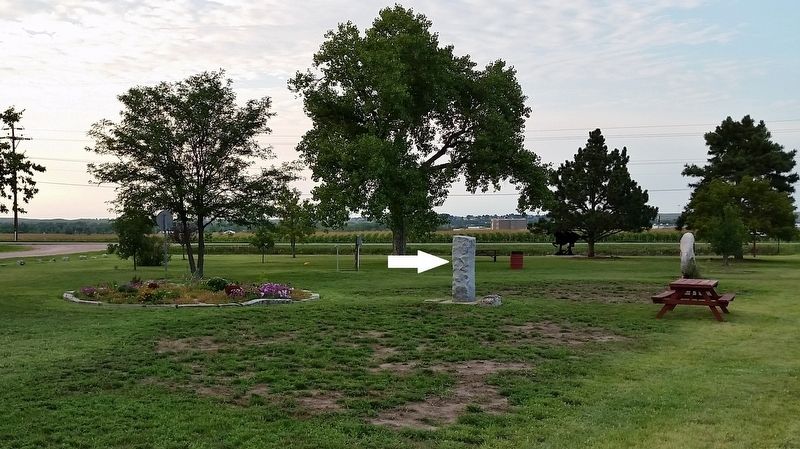
Oregon Trail Marker (wide view looking north through Tri-Trails Park; marker at center)
SHOWN IN SOURCE-SPECIFIED ORDER
| 1 ► Nebraska, Keith County, Ogallala — Oregon Trail — |
| Oregon Trail Marked by the State of Nebraska 1912 — — Map (db m122901) HM | |||
| 2 ► Nebraska, Keith County, Ogallala — Sand Hill Station — |
| A relay station on the Pony Express Route, 1860-61, often referred to as Gill’s Station located near here at the crossing of the Oregon and Texas Trails. Pony Express stations in Keith County were Alkali, Sand Hill and Diamond Springs. . . . — — Map (db m122909) HM | |||