7 entries match your criteria.
Related Historical Markers
To better understand the relationship, study each marker in the order shown.

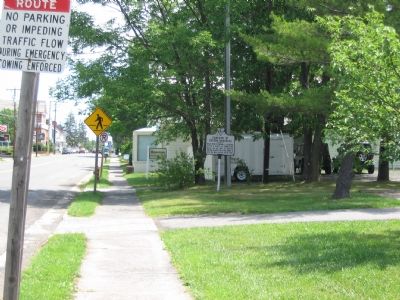
By Craig Swain, June 22, 2007
Campaign of Second Manassas Marker
SHOWN IN SOURCE-SPECIFIED ORDER
| | Near here Stonewall Jackson, after a march of twenty-six miles on his way to Bristoe Station, halted for a few hours to rest his men, August 25-26, 1862 — — Map (db m1358) HM |
| | Here Jackson, on his march around Pope to Bristoe Station, turned to the Southeast, August 26, 1862.
— — Map (db m1250) HM |
| | Lee and Longstreet, moving eastward to join Jackson at Manassas, found this gap held by a Union force, August 28, 1862. They forced the gap, after some fighting, and moved on toward Manassas, August 29, 1862. — — Map (db m607) HM |
| | Here Taliaferro, of Jackson’s force, came into the highway in the late night of August 27, 1862. He was marching from Manassas to the position about a mile and a half to the north held by Jackson in the Second Battle of Manassas. — — Map (db m108460) HM |
| | Seven miles south is Manassas, where Jackson, on his turning movement around Pope, destroyed vast quantities of supplies, August 26–27, 1862. Hill and Ewell of Jackson's force, coming from Manassas, reached Centreville on their way to Jackson's . . . — — Map (db m411) HM |
| | On the Henry Hill, Pope’s rear guard, in the late afternoon of August 30, 1862, repulsed the attacks of Longstreet coming from the west. If the hill had been taken, Pope’s army would have been doomed; but the Unionists held it while the rest of . . . — — Map (db m108461) HM |
| | Stonewall Jackson, sent by Lee to move around Pope's retreating army at Centreville and cut if off from Alexandria, reached this place, August 31, 1862. Here Jackson turned east towards Fairfax. — — Map (db m2262) HM |
Apr. 19, 2024
