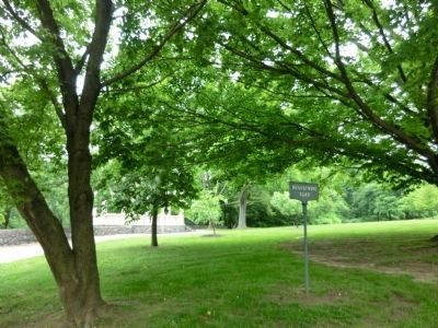
Brandywine Park in Wilmington in New Castle County, Delaware — The American Northeast (Mid-Atlantic)
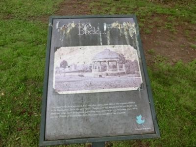
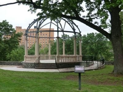
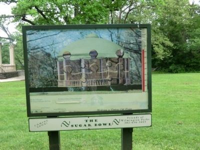
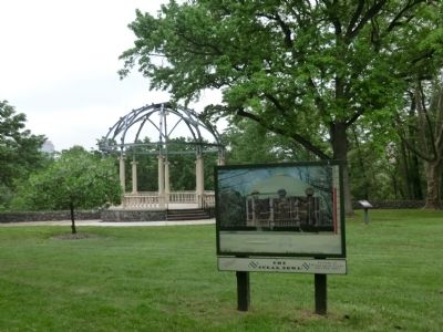
Looking Back…
…over 100 years ago from this spot
Erected by Delaware State Parks.
Topics and series. This historical marker is listed in these topic lists: Architecture • Entertainment • Parks & Recreational Areas. In addition, it is included in the Delaware State Parks series list. A significant historical year for this entry is 1949.
Location. This marker has been replaced by another marker nearby. It was located near 39° 45.217′ N, 75° 32.867′ W. Marker was in Wilmington, Delaware, in New Castle County. It was in Brandywine Park. Marker was on Baynard Boulevard north of Washington Street. The marker is located in Brandywine Park. Touch for map. Marker was in this post office area: Wilmington DE 19802, United States of America. Touch for directions.
Other nearby markers. At least 8 other markers are within walking distance of this location. A different marker also named Looking Back… (a few steps from this marker); Washington Street Bridge (within shouting distance of this marker); New Castle County Vietnam Memorial (about 300 feet away, measured in a direct line); Soldiers and Sailors Memorial (about 400 feet away); Radiated Tortoise (about 400 feet away); Black and White Ruffed Lemur (about 500 feet away); a different marker also named Black and White Ruffed Lemur (about 500 feet away); Ameraucana (about 500 feet away). Touch for a list and map of all markers in Wilmington.
Related marker. Click here for another marker that is related to this marker. This marker has been replaced with the linked marker.
Credits. This page was last revised on February 13, 2023. It was originally submitted on June 6, 2013, by Don Morfe of Baltimore, Maryland. This page has been viewed 486 times since then and 10 times this year. Photos: 1, 2, 3, 4, 5. submitted on June 6, 2013, by Don Morfe of Baltimore, Maryland. • Bill Pfingsten was the editor who published this page.
