Montgomery in Montgomery County, Alabama — The American South (East South Central)
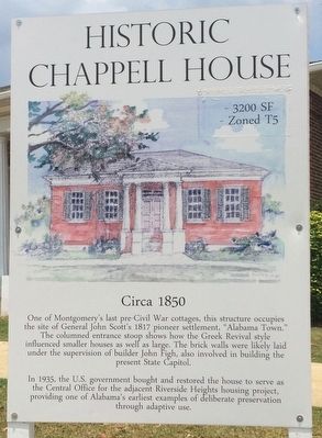
Historic Chappell House
Circa 1850
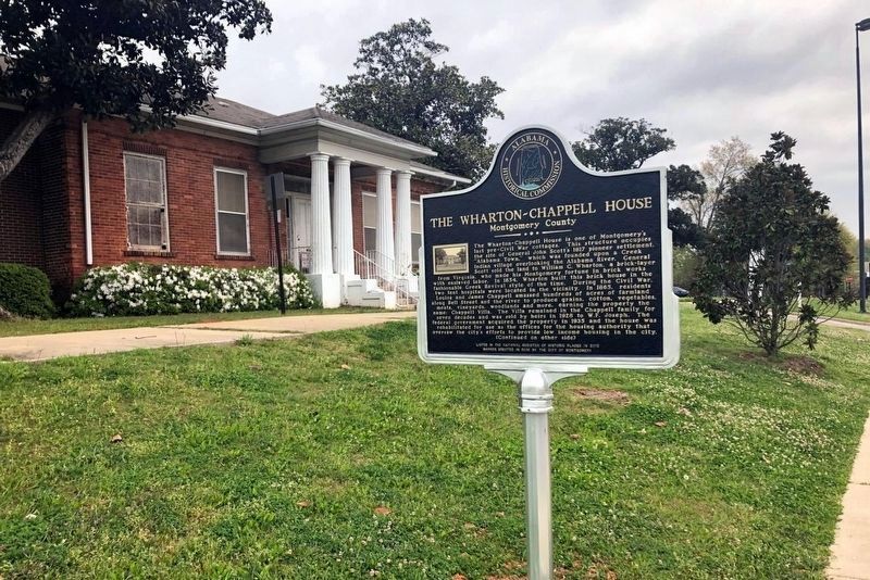
One of Montgomery's last pre-Civil War cottages, this structure occupies the site of General John Scott's 1817 pioneer settlement, "Alabama Town."
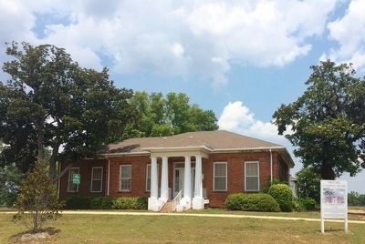
The columned entrance stoop shows how the Greek Revival style influenced smaller houses as well as large. The brick walls were likely laid under the supervision of builder John Figh, also involved in building the present State Capitol.
In 1935, the U.S. Government bought and restored the house to serve as the Central Office for the adjacent Riverside Heights housing project, providing one of Alabama's earliest examples of deliberate preservation through adaptive use.
Topics. This historical marker is listed in this topic list: Architecture. A significant historical year for this entry is 1817.
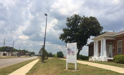
Location. Marker has been permanently removed. It was located near 32° 22.653′ N, 86° 19.709′ W. Marker was in Montgomery, Alabama, in Montgomery County. Marker was at the intersection of Maxwell Boulevard and Eugene Street, on the right when traveling west on Maxwell Boulevard. Touch for map. Marker was at or near this postal address: 1020 Maxwell Boulevard, Montgomery AL 36104, United States of America.
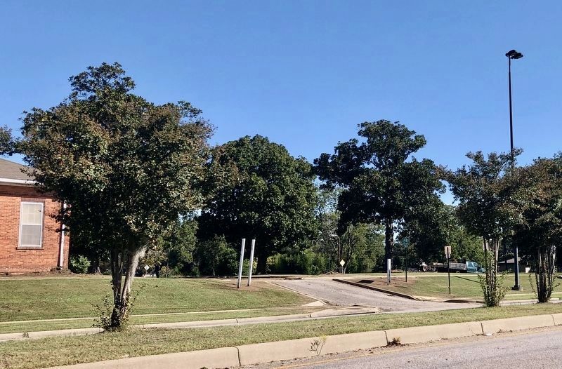
We have been informed that this sign or monument is no longer there and will not be replaced. This page is an archival view of what was.
Other nearby markers. At least 8 other markers are within walking distance of this location. The Wharton-Chappell House / Riverside Heights (within shouting distance of this marker); Clay Street Missionary Baptist Church (approx. ¼ mile away); Maxwell Air Force Base and the Air University (approx. half a mile away); The Wright Brothers Flying School (approx. half a mile away); Maxwell Air Force Base/Air University (approx. half a mile away); Native Americans (approx. half a mile away); Thunderbird Park (approx. 0.6 miles away); Day Street Baptist Church (approx. 0.6 miles away). Touch for a list and map of all markers in Montgomery.
More about this marker. The house has become part of the 120 acre Montgomery Whitewater Park and this marker has been removed as part of the construction.
Regarding Historic Chappell House. The land where the James Chappell House stands, and where its fields were once tended, was General Scott's first settlement in 1817-1818. Scott was inspired to name his settlement "Alabama Town" because he was aware that long ago the site was the home of the ancient Alabama Indians, also written as "Alibamo."
The land around the Chappell House was referred to informally and in official documents as
"Old Town Plantation" in reference to the ancient Indian site.
Related marker. Click here for another marker that is related to this marker.
Additional commentary.
1. Longevity of marker.
It is not very apparent just how long this marker will last. The house and land around it is up for redevelopment but to include the house in that redevelopment. Time will tell.
UPDATE A Historic Assessment Report was submitted to the Alabama Historical Commission and then to the National Parks Service for consideration of placement on the National Register of Historic Places. In July 2016, the request was successful and the house has now been added to the National Register of Historic Places. (LPG 01/13/2021)
— Submitted June 11, 2016, by Mark Hilton of Montgomery, Alabama.
Credits. This page was last revised on June 5, 2023. It was originally submitted on June 11, 2016, by Mark Hilton of Montgomery, Alabama. This page has been viewed 781 times since then and 65 times this year. Photos: 1, 2, 3. submitted on June 11, 2016, by Mark Hilton of Montgomery, Alabama. 4. submitted on October 14, 2020, by Mark Hilton of Montgomery, Alabama. 5. submitted on January 13, 2021, by Larry Gertner of New York, New York.
