The first Boy Scout Troop in North America was formed in this village in 1908 by William Glover (1874-1949), a bookkeeper at the North Atlantic Colliery. He was master of the local Masonic Lodge and director of the St. Paul's Anglican Church Choir. . . . — — Map (db m139294) HM
Commercial coal mining began in Port Morien in 1720 after a mine had been opened to supply The Fortress at Louisbourg. This was the first commercial coal mine in North America. After the English victory at Louisbourg in 1758, the mine remained in . . . — — Map (db m139293) HM
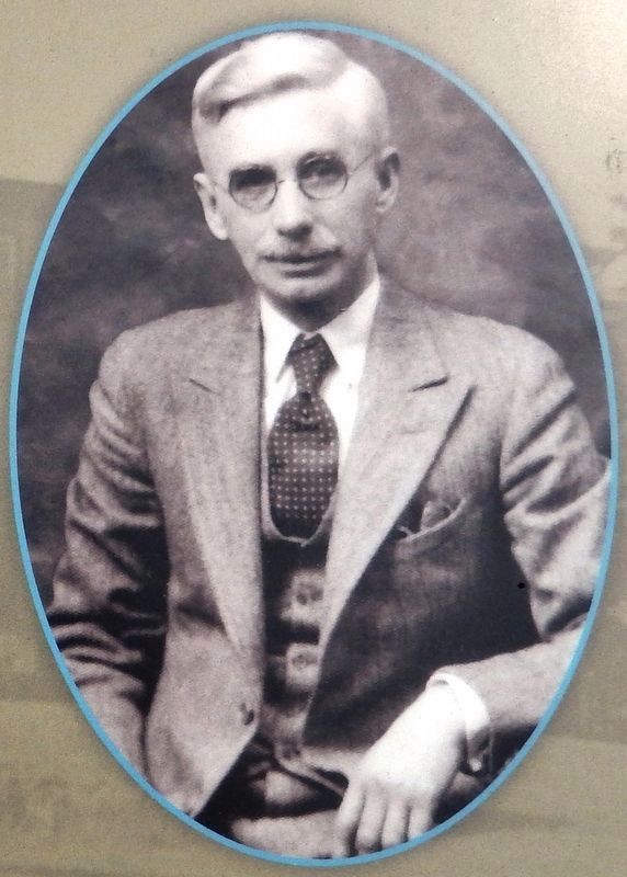
Joseph Talmage (J.T.) Irwin purchased a parcel of land in 1917 on the south side of Breakwater Street, with the intention of building an all-purpose store. He operated it for several years. At his death in 1934, his wife, Charlotte, and their . . . — — Map (db m144071) HM
Schooling in Port Morien and Area
Records show that schooling in Cow Bay goes back to 1826. There was a school at Gowrie Mine in 1862, and it burned down in 1880. In 1867, there was a school at South Head, destroyed by fire in 1890, rebuilt, . . . — — Map (db m144072) HM
The Port Morien Project
In the year 2000, a group of interested citizens met to revive an organization in the community, the Port Morien Development Association. It was an organization active in the late 1960s and early 1970s. On February 9, . . . — — Map (db m144073) HM
Flint Island is a treeless little republic sitting in the Atlantic six miles east of Port Morien. The nearest landfall is the Northern Head, approximately two miles west. It is an estimated 800 yards long and 140 yards wide.
The first lighthouse . . . — — Map (db m144074) HM
In 1861, Archibald and Company, a family-run business from North Sydney, opened the Gowrie Mine in Cow Bay. It was the most successful mining operation in Cape Breton in the 19th Century. Preliminary mining commenced at an old pit near the shore. . . . — — Map (db m144075) HM
The first recorded commercial fishing activity in Cow Bay occurred when the Bourinot family purchased fish, dried them, and supplied the fishermen.
Lobster factories could be found in both Port Morien and South Head. The factory owned by David . . . — — Map (db m144076) HM
The history of the village of Port Morien, rooted as it was in mining and fishing, is tightly entwined with Morien Bay itself.
The Mi'kmaq name was "Noolektooch", (Noo-lack-took) meaning "place jammed with ice", or "bivouacking place". Early . . . — — Map (db m144077) HM