3 entries match your criteria.
Related Historical Markers
Markers related to the Old Mine Road.
By Bill Coughlin, February 22, 2009
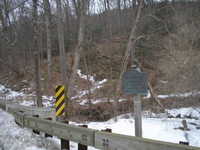
Marker in Delaware Water Gap NRA
SHOWN IN SOURCE-SPECIFIED ORDER
| | Connecting Esopus (Kingston) on Hudson River with Pahaquarry Copper Mine Length 104 miles – Built about 1650 Pahaquarry Copper Mines Southern end of Old Mine Road Mine opened by Dutch about 1650. Moses Van Campen House – Built 1755 one mile north. . . . — — Map (db m16812) HM |
| | Connecting Esopus (Kingston) on Hudson River with Pahaquarry Copper Mine Length 104 miles – Built about 1650 Daniel Decker Ferry established 1756 Moved to Rosenkrans 1898 Lower Walpack Reformed Church one-fourth mile west Built 1737 – . . . — — Map (db m16810) HM |
| | Oldest 100-mile road in America. Built by Dutch miners before 1664 from Kingston to copper mines near Delaware Water Gap. — — Map (db m20544) HM |
Apr. 19, 2024