Near Cordesville in Berkeley County, South Carolina — The American South (South Atlantic)
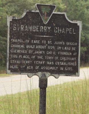
Strawberry Chapel
Topics. This historical marker is listed in these topic lists: Churches & Religion • Colonial Era. A significant historical year for this entry is 1725.
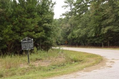
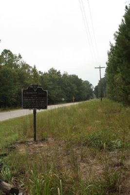
Location. 33° 5.751′ N, 79° 55.983′ W. Marker is near Cordesville, South Carolina, in Berkeley County. Marker is at the intersection of Doctor Evans Road (South Carolina Route S-8-444) and Strawberry Chapel Road, on the right when traveling south on Doctor Evans Road. The chapel is on private grounds and is not open to the public. It has an active group of caretakers and is currently undergoing a ‘once-in-a-century’ restoration project. Touch for map. Marker is at or near this postal address: 1042 Strawberry Chapel Road, Moncks Corner SC 29461, United States of America. Touch for directions.
Other nearby markers. At least 8 other markers are within 7 miles of this marker, measured as the crow flies. Mepkin Plantation (approx. 1½ miles away); Francis Marion (approx. 5 miles away); St. James, Goose Creek Chapel of Ease / Bethlehem Baptist Church (approx. 5½ miles away); Pompion Hill Chapel (approx. 5.7 miles away); Mulberry Plantation (approx. 5.9 miles away); Lewisfield Plantation (approx. 6.9 miles away); Brabant Plantation (approx. 7 miles away); Wadboo Barony (approx. 7 miles away). Touch for a list and map of all markers in Cordesville.
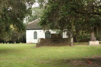
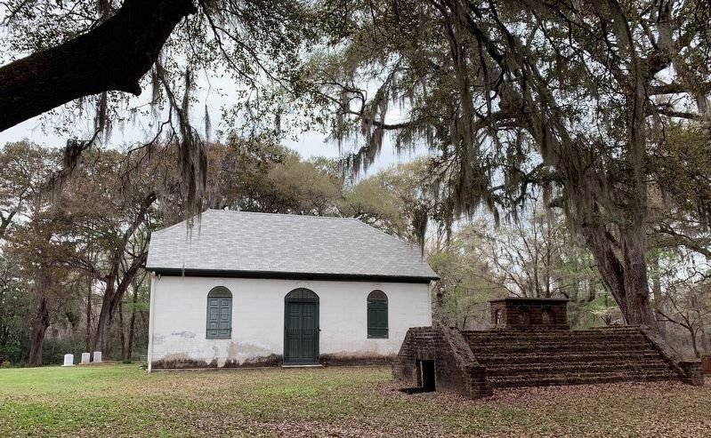
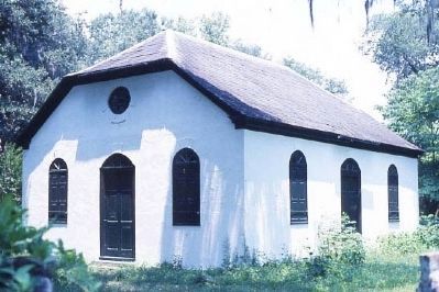
Regarding Strawberry Chapel. Childsbury, one of the early towns to be laid out in South Carolina (1707), is significant as an important archaeological site. Englishman James Child started a ferry here as it was the only practical ferry site across the Cooper River within a reasonable distance. Property was designated for a college, a free school, a house for the schoolmaster, a place of worship, and a market square. To the inhabitants of Childsbury, Child gave 600 acres to farm and pasture. He also gave them the 100-acre hill by the river to build upon as a citadel to protect the town in times of war. Due mainly to the rise of the new and growing plantations, Childsbury began a rapid decline and the town site eventually became part of a plantation. Strawberry Chapel is the only visible remains of the town of Childsbury. Architecturally the chapel displays the simple, yet dignified and impressive lifestyle of a Chapel of Ease. This one story rectangular brick building has an unadorned
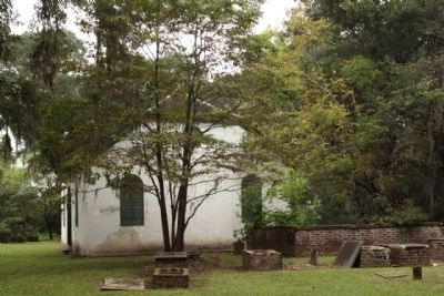
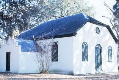
hipped gable roof. The double three paneled door of the façade, surmounted by flush fanlight is symmetrically situated between two shuttered windows of the same three panel design. These chapels were built to serve the people for whom the regular parish church was inaccessible. Strawberry Chapel became unique as a Chapel of Ease in that it is operated as a full parish church. Usually these chapels were denied some of the privileges of a parish church. A small cemetery is adjacent to the chapel. Listed in the National Register April 26, 1972. (South Carolina Department of Archives and History)
National Register of Historic Places:
Strawberry Chapel and Childsbury Town Site (added 1972 - Site - #72001194)
SE of Moncks Corner on CR 44, N of the Tee of the Cooper River, Moncks Corner
♦ Historic Significance: Information Potential
♦ Area of Significance: Religion, Agriculture, Military, Transportation, Education, Architecture
♦ Cultural Affiliation: Early American Settlement
♦ Period of Significance: 1700-1749
♦ Owner: Private
♦ Historic Function: Domestic, Religion
♦ Historic Sub-function: Religious Structure, Village Site
♦ Current Function: Religion
♦ Current Sub-function: Religious Structure
Also see . . .
Touring South Carolina's Revolutionary War Sites By Daniel W. Barefoot, page 43. mention of Strawberry Chapel (Submitted on October 4, 2009, by Mike Stroud of Bluffton, South Carolina.)
Additional commentary.
1. Strawberry Chapel
Strawberry Chapel is an independent historic site and NOT associated with the Episcopal Church. The chapel and it’s grounds are private property and not open to the general public. Four community services are held annually and guest are welcome to attend on those days. Descendants of the Child, Ball, Harleston, Waring families continue to serve in protecting and preserving this historic chapel and graveyard. Note To Editor only visible by Contributor and editor
— Submitted August 11, 2020, by Beverly Stoney of Charleston, South Carolina.
Additional keywords. Strawberry Chapel is not an affiliation of the Episcopal Diocese. It is classified as an independent place of worship and has had French Huguenot, Episcopal and Anglican ministers preach at its services.
Credits. This page was last revised on October 20, 2023. It was originally submitted on October 4, 2009, by Mike Stroud of Bluffton, South Carolina. This page has been viewed 4,168 times since then and 351 times this year. Last updated on October 14, 2023, by Beverly Stoney of Charleston, South Carolina. Photos: 1, 2, 3, 4. submitted on October 4, 2009, by Mike Stroud of Bluffton, South Carolina. 5. submitted on August 11, 2020, by Beverly Stoney of Charleston, South Carolina. 6, 7, 8, 9. submitted on October 4, 2009, by Mike Stroud of Bluffton, South Carolina. • Bill Pfingsten was the editor who published this page.
