Near Peekskill in Westchester County, New York — The American Northeast (Mid-Atlantic)
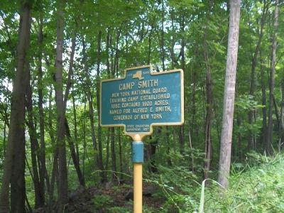
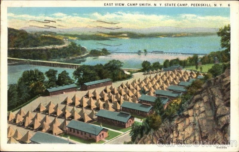
Camp Smith
training camp established
1882. Contains 1900 acres.
Named for Alfred E. Smith,
Governor of New York.
Erected 1957 by New York State Education Department.
Topics. This historical marker is listed in this topic list: Military. A significant historical year for this entry is 1882.
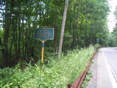
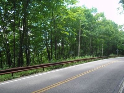
Location. 41° 19.326′ N, 73° 58.605′ W. Marker is near Peekskill, New York, in Westchester County. Marker is on Bear Mountain Beacon Hwy (New York State Route 9D), on the left when traveling north. Marker is located just north of the Bear Mountain Bridge. Touch for map. Marker is in this post office area: Peekskill NY 10566, United States of America. Touch for directions.
Other nearby markers. At least 8 other markers are within walking distance of this marker. The Naval Battle of Fort Montgomery (approx. half a mile away); 32-Pounder (approx. half a mile away); a different marker also named The Naval Battle of Fort Montgomery (approx. half a mile away); The Escape (approx. half a mile away); Grand Battery (approx. half a mile away); Three Sisters Garden (approx. half a mile away); Gardens of the Fort (approx. half a mile away); Powder Magazine (approx. 0.6 miles away).
Also see . . . Camp Smith. New York State Military Museum and Veterans Research Center website entry (Submitted on July 11, 2009, by Bill Coughlin of Woodland Park, New Jersey.)
Credits. This page was last revised on November 24, 2022. It was originally submitted on July 11, 2009, by Bill Coughlin of Woodland Park, New Jersey. This page has been viewed 918 times since then and 17 times this year. Photos: 1. submitted on July 11, 2009, by Bill Coughlin of Woodland Park, New Jersey. 2. submitted on November 24, 2022, by Larry Gertner of New York, New York. 3, 4. submitted on July 11, 2009, by Bill Coughlin of Woodland Park, New Jersey.


