Maumee in Lucas County, Ohio — The American Midwest (Great Lakes)
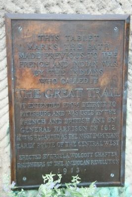
The Great Trail
Marks the Path
Made previous to the
French and Indian War
By the Indians
Who called it
THE GREAT TRAIL
It extended from Detroit to
Pittsburg and was used by the
French and British and by
General Harrison in 1812.
It was regarded as the most important
Early Route of the Central West.
Erected 1913 by Ursula Wolcott Chapter, Daughters of the American Revolution.
Topics and series. This historical marker is listed in these topic lists: Military • Native Americans • Roads & Vehicles • War of 1812 • War, French and Indian • War, US Revolutionary • Wars, US Indian. In addition, it is included in the Daughters of the American Revolution series list. A significant historical year for this entry is 1812.
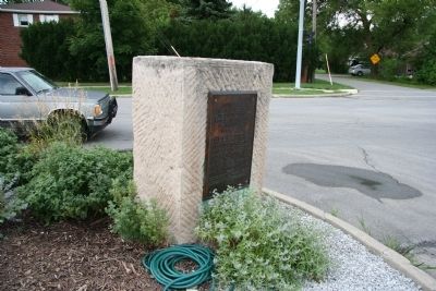
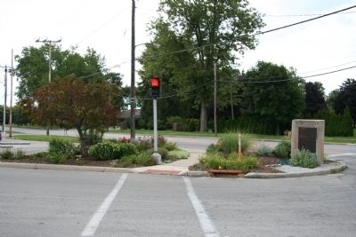
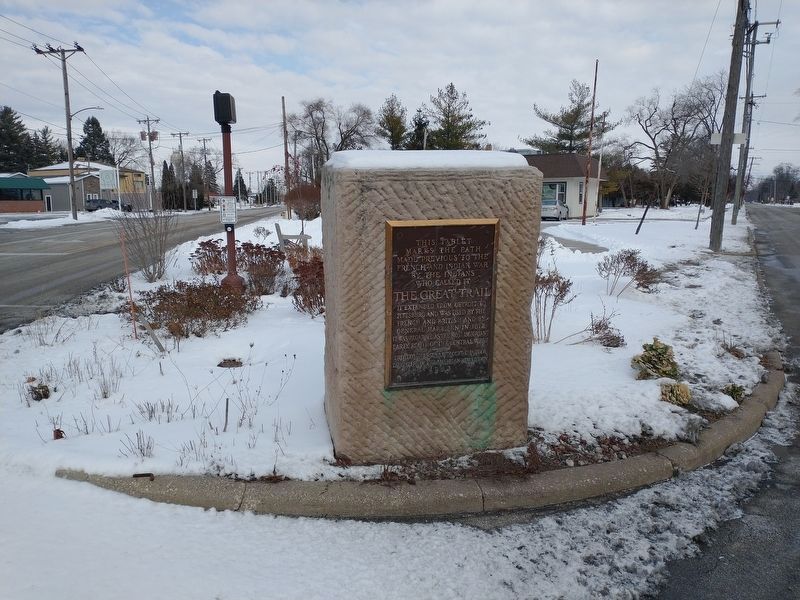
Location. 41° 34.535′ N, 83° 37.364′ W. Marker is in Maumee, Ohio, in Lucas County. Marker is at the intersection of Detroit Avenue and River Road, on the right when traveling north on Detroit Avenue. This historical marker is located on the northeast corner of the intersection where Detroit Avenue begins it's journey north to Detroit, Michigan. Detroit Avenue was built atop the Indian pathway known as the Great Trail. Touch for map. Marker is in this post office area: Maumee OH 43537, United States of America. Touch for directions.
Other nearby markers. At least 8 other markers are within walking distance of this marker. The Formidable Fort Miamis (approx. ¼ mile away); Letters From 1794 / A Strategic Location (approx. ¼ mile away); 41st Regiment of Foot - War of 1812 / Private Patrick Russell (approx. ¼ mile away); Fallen Timbers Battlefield and Fort Miamis National Historic Site (approx. ¼ mile away); Lucas County Children's Home (approx. 0.3 miles away); Old Fort, New Battle (approx. 0.3 miles away); A Shattered Truce (approx. 0.3 miles away); Running A Gauntlet (approx. 0.3 miles away). Touch for a list and map of all markers in Maumee.
Related marker. Click here for another marker that is related to this marker. To better understand the relationship, study each marker in the order shown.
Credits. This page was last revised on February 6, 2022. It was originally submitted on August 23, 2009, by Dale K. Benington of Toledo, Ohio. This page has been viewed 1,606 times since then and 22 times this year. Photos: 1, 2, 3. submitted on August 23, 2009, by Dale K. Benington of Toledo, Ohio. 4. submitted on January 29, 2022, by Craig Doda of Napoleon, Ohio. • Bill Pfingsten was the editor who published this page.


