Originally built by Peter Hedrick, 1755. The stockaded blockhouse was improved in early 1756 by Capt. Frederick Smith to guard Swatara Gap and protect the frontier settlements. Site is on Fort Swatara Drive about half a mile from this intersection. — — Map (db m12538) HM
This gap in the Blue Mountain, named for Swatara Creek, a pass through which enemy Indians raided frontier settlements during the French and Indian War. Fort Swatara was built nearby to guard it. — — Map (db m12537) HM
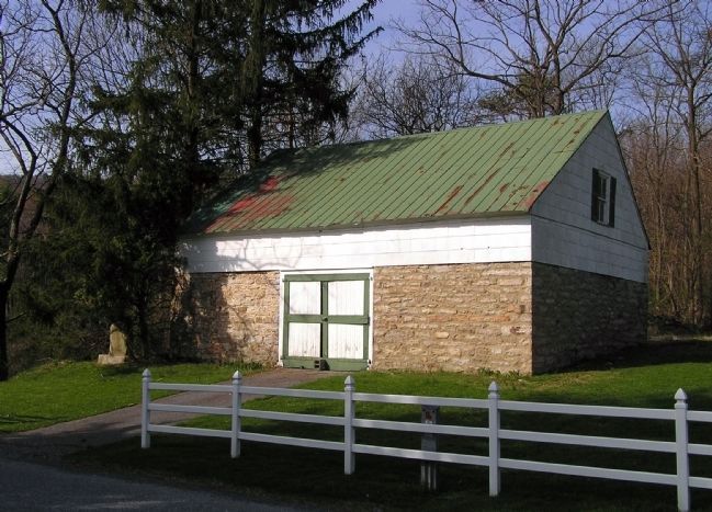
This State's oldest existing fort is half a mile to the north. Pioneers who came to the Tulpehocken from the Schoharie valley build it in 1723, rebuilt it in 1745. It was used as a place of refuge during Indian wars. — — Map (db m29300) HM
In this vicinity stood James Brown's log house-fort, named Fort Manda when garrisoned as an outpost of Fort Swatara from January, 1756 to May, 1757. Its usual complement consisted of 21 officers and men. No description of the fort has survived. — — Map (db m12508) HM
Just west of this point stood Fort Halifax. It was built in 1756 by Col. William Clapham, and was one of the chain of frontier forts built to protect settlers in this region during French and Indian War days. — — Map (db m12503) HM
Built at direction of Benjamin Franklin. Named after James Hamilton, a member of the Governor's Council. Stood NW of here, garrisoned 1755-57, one of a chain of forts later replaced by Fort Penn. Abandoned in 1757. — — Map (db m228620) HM
One of a chain of frontier forts of the Province of Pennsylvania in the French and Indian War. Erected under the direction of Benjamin Franklin. Stood hard-by to the rear extending across Ninth Street. Built in January 1756 by Captain Levi Trump and . . . — — Map (db m29) HM
The Indian Ambassadors Road turned east near here over the hills to the Tulpehocken Valley. Used by Iroquois chiefs from Onondaga, now Syracuse, carrying peace wampum from the "Fire that Never Dies" to Philadelphia. Often traveled by Shickellamy. — — Map (db m14405) HM
Fort Henry, built 1756 to guard Lebanon Valley from Delaware and Shawnee raids, stood 3/4 mile northwest of here on the Tulpehocken Path. The trail came over the mt. near where present road cutting is seen. Round Head overlooks it from east. — — Map (db m29542) HM
Erected about 1744, by Daniel Brodhead, for use by Monrovian missionaries. Destroyed by the Indians in 1755, during the French and Indian War. The site adjoined the present cemetery. — — Map (db m37943) HM