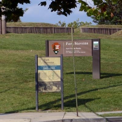
Civil War Defenses of Washington 1861-1865 The partial reconstruction of Fort Stevens that you see today was done by the Civilian Conservation Corps in 1937. No visible evidence of the original fort remains. Battle of Fort Stevens July . . . — — Map (db m3028) HM
Hearing those words, President Abraham Lincoln ducked down from the Fort Stevens parapet during the Civil War battle that stopped the Confederates from taking Washington. On July 9, 1864, some 15,000 Rebels led by General Jubal A. Early . . . — — Map (db m72829) HM
Elizabeth Proctor Thomas (1821-1917), a free Black woman whose image appears on each Brightwood Heritage Trail sign, once owned 11 acres in this area. Known, respectfully in her old age as "Aunt Betty," Thomas and her husband James farmed and . . . — — Map (db m72830) HM
No visible evidence remains of Fort Slocum, which stood here and across Kansas Avenue to your left. Cannon mounted at Fort Totten helped repulse a Confederate attack on Fort Stevens, July 11-12, 1864. — — Map (db m110283) HM
Earthworks of Fort Totten are visible within the wooded area 50 yards at the top of this hill. Cannon mounted at Fort Totten helped repulse a Confederate attack on Fort Stevens, July 11-12, 1864. — — Map (db m2993) HM
One of the Civil War defenses of Washington construction of Fort Totten was begun in August 1861, named after Gen. Joseph G. Totten the fort contained 20 guns and mortars including eight 32-pounders. — — Map (db m2999) HM
Used as a signal station
· by ·
Confederate soldiers under
Gen. Jubal A. Early
during the attack on
· Washington ·
July 11 and 12, 1864
Also used by
Confederate Sharpshooters
The lower plaque reads:
Two cannon balls . . . — — Map (db m42698) WM