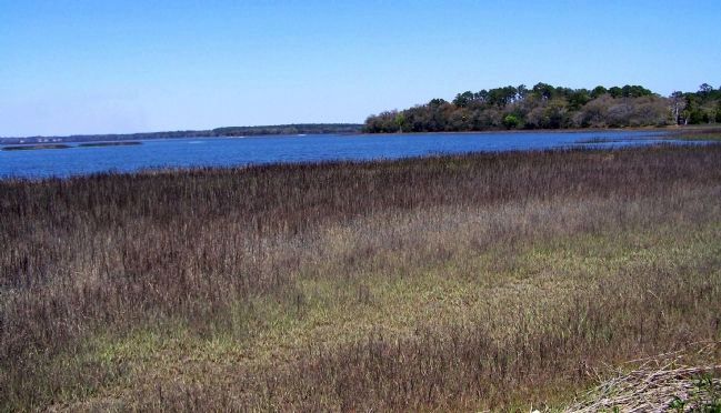
Pinckney Island in Beaufort County, South Carolina — The American South (South Atlantic)
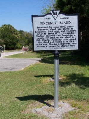
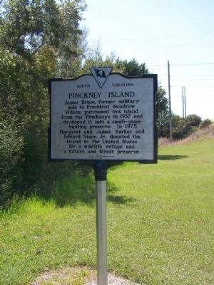
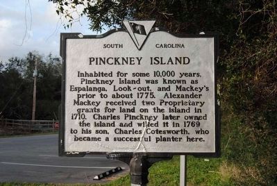
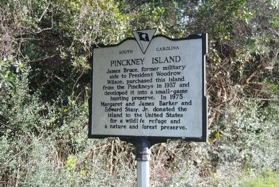
Pinckney Island
[Front]:
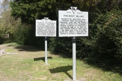
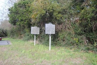
Inhabited for some 10,000 years, Pinckney Island was known as Espalanga, Look–out, and Mackey's prior to about 1775. Alexander Mackey received two Proprietary grants for land on the island in 1710. Charles Pinckney later owned the island and willed it in 1769 to his son, Charles Cotesworth, who became a successful planter here.
[Reverse]:
James Bruce, former military aide to President Woodrow Wilson, purchased this island from the Pinckneys in 1937 and developed it into a small~game hunting preserve. In 1975 Margaret and James Barker and Edward Starr, Jr. donated the island to the United States for a wildlife refuge and a nature and forest preserve.
Erected 1987 by Beaufort County Historical Society. (Marker Number 07-20.)
Topics and series. This historical marker is listed in this topic list: Notable Places. In addition, it is included in the Former U.S. Presidents: #28 Woodrow Wilson, and the South Carolina, Beaufort County Historical Society series lists. A significant historical year for this entry is 1775.
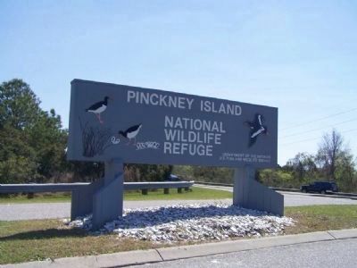
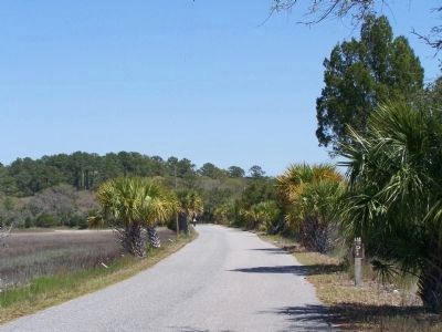
Location. 32° 13.767′ N, 80° 47.083′ W. Marker is on Pinckney Island, South Carolina, in Beaufort County. Marker is on Pinckney Wildlife Refuge north of William Wilton Parkway (Route 352), on the right when traveling north. Marker located 100 yards inside Pinckney Island National Wildlife Refuge, entrance off US 278. Touch for map. Marker is in this post office area: Bluffton SC 29910, United States of America. Touch for directions.
Other nearby markers. At least 10 other markers are within 5 miles of this marker, measured as the crow flies. Charles Cotesworth Pinckney (here, next to this marker); Charlie Simmons, Sr. (approx. 2˝ miles away); William Simmons House (approx. 2˝ miles away); Campbell Chapel A.M.E. (approx. 4˝ miles away); The Burning of Bluffton (approx. 4˝ miles away); First African Baptist Church (approx. 4.6 miles away); Bluffton United Methodist Church (approx. 4.6 miles away); a different marker also named First African Baptist Church (approx. 4.6 miles away); Bluffton (approx. 4.6 miles away); Church of the Cross (approx. 4.6 miles away).
Also see . . .
1. Charles Pinckney. Charles Pinckney (died October 29, 1758) was a noted South Carolina politician and colonial agent. He was also the father of two candidates for Vice-President and President. For four presidential elections in a row, from 1796 to 1808, one of his sons would receive votes in the Electoral College. (Submitted on March 26, 2008, by Mike Stroud of Bluffton, South Carolina.)
2. Charles Cotesworth Pinckney. Charles Cotesworth "C.C." Pinckney (February 25, 1746 – August 16, 1825), was an early American statesman of South Carolina, Revolutionary War veteran, and delegate to the Constitutional Convention. He was twice nominated by the Federalist Party as its presidential candidate. He lost both elections. (Submitted on March 20, 2016, by Brian Scott of Anderson, South Carolina.)
3. Pinckney Island National Wildlife Refuge. The Pinckney Island National Wildlife Refuge is a 4,053-acre (16 km) National Wildlife Refuge located in Beaufort County, South Carolina between the mainland and Hilton Head Island. Named after Major General Charles Cotesworth Pinckney, it was established to provide a nature and forest preserve for aesthetic and conservation purposes. (Submitted on March 20, 2016, by Brian Scott of Anderson, South Carolina.)
Credits. This page was last revised on June 16, 2016. It was originally submitted on March 26, 2008, by Mike Stroud of Bluffton, South Carolina. This page has been viewed 2,504 times since then and 36 times this year. Photos: 1, 2. submitted on March 26, 2008, by Mike Stroud of Bluffton, South Carolina. 3, 4. submitted on March 20, 2016, by Brian Scott of Anderson, South Carolina. 5. submitted on March 6, 2011, by Mike Stroud of Bluffton, South Carolina. 6. submitted on March 20, 2016, by Brian Scott of Anderson, South Carolina. 7, 8, 9. submitted on March 26, 2008, by Mike Stroud of Bluffton, South Carolina. • Craig Swain was the editor who published this page.
