On October 1, 1863, nine months after President Lincoln's Emancipation Proclamation, Secretary of War Edwin Stanton advised Lincoln that it was a "military necessity in the State of Maryland... for enlisting all persons capable of bearing arms... . . . — — Map (db m76714) HM
On July 9, 1864, at 2:00 a.m., the last train of Union reinforcements pulled into Monocacy Junction just hours before the battle. The addition of 3,400 veterans increased Wallace's total to 6,600 men. While Wallace was successful in delaying the . . . — — Map (db m76713) HM
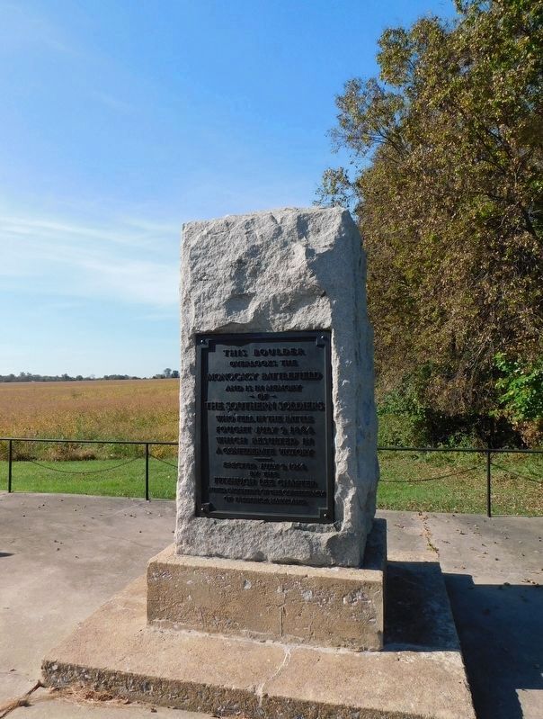
Here along the Monocacy River on July 9, 1864, was fought the battle between Union forces under General Lew Wallace and Confederate forces under General Jubal A. Early. The battle, although a temporary victory for the Confederates, delayed their . . . — — Map (db m3218) HM
The John T. Best family was going about its chores of tending cows, hogs, chickens, and fields of wheat, oats, and corn. The Bests were used to working amid soldiers, for Union and Confederate troops had camped here on the South Hermitage farm . . . — — Map (db m194537) HM
7:00 a.m, July 9, 1864 Confederate troops under Lt. Gen. Jubal A. Early streamed through the gaps of South Mountain and the Catoctins and headed south past Frederick. Bound for Washington, D.C., they were stopped here at the Best family farm by . . . — — Map (db m194536) HM
After skirmishing on July 8 with Confederates west of Frederick, MD, Maj. Gen. Lew Wallace’s 5,800 Union troops—many of them “raw and untried”—took a stand at the Monocacy River. Wallace carefully chose this critical intersection of the river, . . . — — Map (db m3247) HM
Erected by the State of New Jersey to commemorate the heroic services of the 14th Regiment New Jersey Volunteer Infantry 1st Brigade, 3rd Division, 6th Corps Army of the Potomac, at the Battle of Monocacy, MD July 9th 1864. ********* The . . . — — Map (db m13301) HM
Confederate troops succeeded in finding their way across the Monocacy River at the foot of this hill. Brig. Gen. John McCausland's 350 cavalrymen came up over the hill and assembled on the front yard of the Worthington farm. Maj. Gen. John B. . . . — — Map (db m194133) HM
Fields of wheat and corn surrounded the hilltop farmhouse of John T. Worthington. Few trees obstructed his views of the meandering Monocacy River and Thomas farm to the east. In the two years since buying the 300-acre farm, Worthington had seen . . . — — Map (db m194132) HM
11:30 a.m. - 2:30 p.m. July 9, 1864 Brig. Gen. John McCausland's cavalry brigade forded the river, dismounted, and advanced up the slope toward the Worthington house. Thinking they would be facing inexperienced militiamen, the Confederates formed . . . — — Map (db m194131) HM
So profuse was the flow of blood from the killed and wounded of both sides of these forces that it reddened the stream [on the Thomas Farm] for more than 100 yards below. Maj. Gen. John B. Gordon The first Confederate troops to cross the . . . — — Map (db m89244) HM
Col. C. Keefer Thomas, a businessman, should have stayed in Baltimore. He was so sure a war eventually would rage around that city that he moved his family to this 240-acre farm, called Araby. Soon troops were marching through or camping here in the . . . — — Map (db m194543) HM
The Battle of Monocacy changed from a stalemate to a rout as the final lines of Maj. Gen. John B. Gordon's three Confederate brigades swept down Brooks Hill onto the fields of Thomas farm. Both sides traded blistering gunfire around the Thomas . . . — — Map (db m89985) HM
The Northerners held, then lost, then retook the Thomas house grounds as the fighting ebbed and flowed in the stifling heat. Casualties mounted quickly on both sides. Union Maj. Gen. Lew Wallace could see that his numbers were dwindling and that . . . — — Map (db m194544) HM
Mill owner James H. Gambrill used his wits to survive the turmoil. A Southern sympathizer, he sold flour to Northern troops as they set up their line of defense on his land. During the battle he took refuge inside the mill with Samuel S. Thomas and . . . — — Map (db m3262) HM
Confederates wearing captured blue uniforms had killed or wounded several Union skirmishers who had been sent across the Monocacy River to hold the Georgetown Turnpike and B&O Railroad bridges "at all hazards."
The two sides traded shots all . . . — — Map (db m194546) HM
Distressed that their main escape route had been burned, the stranded Federal skirmishers fought on as they faced periodic Confederate attacks. Late in the afternoon, they gradually fell back towards the Baltimore & Ohio bridge. About 5:00 p.m., . . . — — Map (db m194548) HM
A wagon road crossed Bush Creek at this location connecting the Georgetown Pike with roads to Baltimore. As Federal troops withdrew from the battlefield, they passed Gambrill's Mill and followed this road toward Baltimore, leaving the field to the . . . — — Map (db m194553) HM
James H. Gambrill prospered as a miller after the Civil War, and the family moved up in the world - from a modest dwelling on the lowlands near the mill to this 17-room house on the hill. The three-story frame structure, built about 1872, has . . . — — Map (db m194067) HM
The Battle of Monocacy took place on July 9, 1864, in the valley before you. The battle pitted North against South, and Washington, D.C., was the prize. Richmond and Petersburg were endangered, but the Southern leader, General Robert E. Lee had . . . — — Map (db m3292) HM
John Greenleaf Whittier immortalized Barbara Fritchie and the town of Frederick in his poem about the elderly Frederick resident who supposedly displayed the Union flag as Southern soldiers marched by on September 10, 1862.
On July 9, 1864, . . . — — Map (db m3290) HM