Locust Point Industrial Area in Baltimore, Maryland — The American Northeast (Mid-Atlantic)
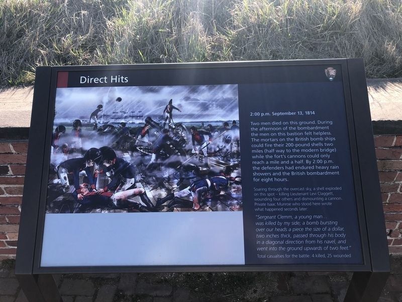
Direct Hits
2:00 p.m. September 13, 1814
Two men died on this ground. During the afternoon of the bombardment the men on this bastion felt helpless. The mortars on the British bomb ships could fire their 200-pound shells two miles (half way to the modern bridge) while the fort's cannons could only reach a mile and a half. By 2:00 p.m. the defenders had endured heavy rain showers and the British bombardment for eight hours.
Soaring through the overcast sky, a shell exploded on this spot — killing Lieutenant Levi Claggett, wounding four others and dismounting a cannon. Private Isaac Munroe who stood here wrote what happened seconds later:
"Sergeant Clemm, a young man… was killed by my side; a bomb bursting over our heads a piece the size of a dollar, two inches thick, passed through his body in a diagonal direction from his navel, and went into the ground upwards of two feet."
Total casualties for the battle: 4 killed, 25 wounded
Erected by National Park Service, U.S. Department of the Interior.
Topics and series. This historical marker is listed in these topic lists: Forts and Castles • War of 1812 • Waterways & Vessels. In addition, it is included in the Maryland, Fort McHenry series list. A significant historical date for this entry is September 13, 1814.
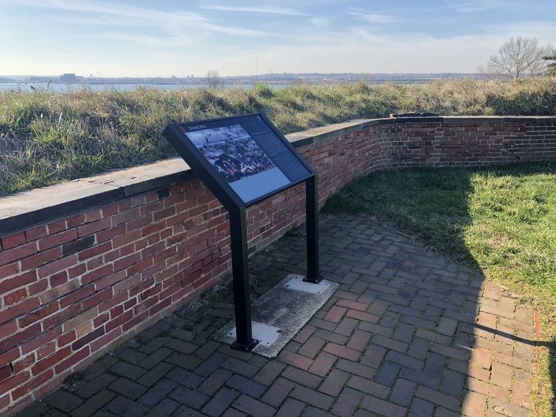
Location. 39° 15.78′ N, 76° 34.829′ W. Marker is in Baltimore, Maryland. It is in the Locust Point Industrial Area. Marker can be reached from Constellation Plaza, 0.3 miles east of Wallace Street, on the right when traveling east. Touch for map. Marker is at or near this postal address: 2400 E Fort Ave, Baltimore MD 21230, United States of America. Touch for directions.
Other nearby markers. At least 8 other markers are within walking distance of this marker. Cistern and Well (within shouting distance of this marker); Providing For The Common Defense (within shouting distance of this marker); British Bomb (within shouting distance of this marker); Commanding Officer’s Quarters (within shouting distance of this marker); Mortars vs. Guns (within shouting distance of this marker); 1814 Enlisted Men's Barracks, No 2 (within shouting distance of this marker); Civil War Guardhouse (about 300 feet away, measured in a direct line); In Full Glory Reflected (about 300 feet away). Touch for a list and map of all markers in Baltimore.
Related marker. Click here for another marker that is related to this marker. This marker replaces the linked marker.
Credits. This page was last revised on December 17, 2023. It was originally submitted on February 17, 2020, by Devry Becker Jones of Washington, District of Columbia. This page has been viewed 101 times since then and 16 times this year. Photos: 1, 2. submitted on February 17, 2020, by Devry Becker Jones of Washington, District of Columbia.

