West Lafayette in Tippecanoe County, Indiana — The American Midwest (Great Lakes)
Main Street Bridge
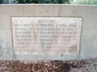
History
— Lafayette and West Lafayette —
First Bridge at this site a three span wooden toll bridge erected in 1865. Purchased by Tippecanoe County in 1871.
Second Bridge, a steel three span bridge erected in 1889. Rendered useless by the flood of March 18, 1913. Low water elevation 1913 501.17. High water elevation March 30, 1913 531.57. 33.30 ft. of water.
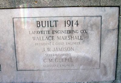
Built 1914
Lafayette Engineering Co. Wallace Marshall, President & Chief Engineer
J. W. Jamison, Superintendent
C. M. Guepel, Assistant Engineer
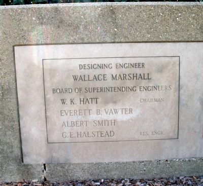
Designing Engineer, Wallace Marshall
Board of Superintending Engineers
W. K. Hatt, Chairman
Everett B. Vawter
Albert Smith
G. E. Halstead, Res. Engr.
Erected 1914.
Topics. This historical marker is listed in these topic lists: Bridges & Viaducts • Waterways & Vessels. A significant historical date for this entry is March 18, 1913.
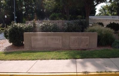
Location. 40° 25.224′ N, 86° 53.971′ W. Marker is in West Lafayette, Indiana, in Tippecanoe County. Marker is on Tapawingo Drive north of State Road 26, on the right when traveling north. Located on Tapawingo Drive on the West Lafayette side of the Wabash River and now called "John T. Myers Pedestrian Bridge" leading to Lafayette - behind the "Big Four Depot". Touch for map. Marker is in this post office area: West Lafayette IN 47906, United States of America. Touch for directions.
Other nearby markers. At least 8 other markers are within walking distance of this marker. John T. Myers (about 700 feet away, measured in a direct line); Iraq War Memorial (approx. 0.2 miles away); Big Four Depot (approx. 0.2 miles away); The Purple Heart Memorial (approx. ¼ mile away); John Purdue Block (approx. ¼ mile away); The Tippecanoe County Courthouse (approx. 0.3 miles away); To Commemorate The Wabash and Erie Canal (approx. 0.3 miles away); Earl & Hatcher Block (approx. 0.3 miles away).
Related marker. Click here for another marker that is related to this marker. John T. Myers - Main Street Bridge
courtesy Trevor Searcy, August 22, 2010
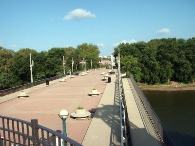
5. The 'Old Main Street Bridge' View from Lafayette, Indiana
Now called "John T. Myers Pedestrian Bridge" this is the third bridge located at this spot over the Wabash River. For years it was used by the "Main Street" traffic between Lafayette and West Lafayette, Indiana.
Credits. This page was last revised on April 8, 2022. It was originally submitted on September 2, 2010, by Al Wolf of Veedersburg, Indiana. This page has been viewed 1,217 times since then and 43 times this year. Photos: 1, 2, 3, 4, 5. submitted on September 2, 2010, by Al Wolf of Veedersburg, Indiana. • Bill Pfingsten was the editor who published this page.
