4 entries match your criteria.
Related Historical Markers
Additional markers on and about the Wisconsin Military Road
By Keith L, September 27, 2009
The Raube Road Site
SHOWN IN SOURCE-SPECIFIED ORDER
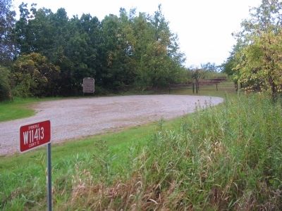
| | The Raube Road Site is one of Wisconsin's few remaining intact Old Military Road segments from the state's territorial period. Located on farmland purchased by Albert and Martha Raube in 1911, this 123-foot-long Military Road segment was part of the . . . — — Map (db m36007) HM |
| | Fort Howard, Green Bay
to Fort Crawford, Prairie du Chien
— — Map (db m36004) HM |
| | The Old Military Road From Fort Howard on Green Bay to Fort Crawford at Prairie du Chien, 1835. — — Map (db m36005) HM |
| | The Military Road, built in 1835, became the first highway to cross the state. Congress appropriated $5,000 to connect the St. Lawrence and Mississippi River basins.
The troops at Fort Crawford constructed the road from Prairie du Chien to . . . — — Map (db m46182) HM |
Apr. 25, 2024