Independence in Jackson County, Missouri — The American Midwest (Upper Plains)
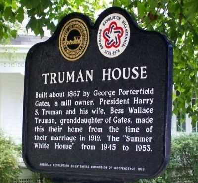
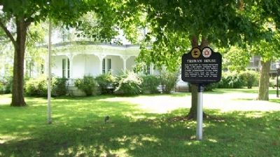
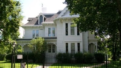
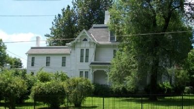
Truman House
Built about 1867 by George Porterfield Gates, a mill owner. President Harry S. Truman and his wife, Bess Wallace Truman, granddaughter of Gates, made this their home from the time of their marriage in 1919. The "Summer White House" from 1945 to 1953.
Erected 1976 by American Revolution Bicentennial Commission of Independence.
Topics and series. This historical marker is listed in these topic lists: Government & Politics • Industry & Commerce • Settlements & Settlers. In addition, it is included in the Former U.S. Presidents: #33 Harry S. Truman, and the The Spirit of ’76, America’s Bicentennial Celebration series lists. A significant historical year for this entry is 1867.
Location. 39° 5.633′ N, 94° 25.418′ W. Marker is in Independence, Missouri, in Jackson County. Marker is at the intersection of Delaware Street and Truman Road (Missouri Route 12), on the right when traveling north on Delaware Street. Touch for map. Marker is at or near this postal address: 219 Delaware Street, Independence MO 64050, United States of America. Touch for directions.
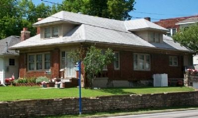
Other nearby markers. At least 8 other markers are within walking distance of this marker. Joseph T. Noland House (within shouting distance of this marker); Gingko Tree (about 400 feet away, measured in a direct line); First Baptist Church (about 700 feet away); First Presbyterian Church (about 700 feet away); Noel House (about 800 feet away); a different marker also named First Presbyterian Church (approx. 0.2 miles away); McCoy House (approx. 0.2 miles away); Sawyer-Jennings House (approx. 0.2 miles away). Touch for a list and map of all markers in Independence.
Also see . . .
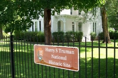
1. Harry S. Truman National Historic Site. (Submitted on August 22, 2010, by William Fischer, Jr. of Scranton, Pennsylvania.)
2. Truman Library and Museum. (Submitted on August 22, 2010, by William Fischer, Jr. of Scranton, Pennsylvania.)
3. Harry S. Truman. (Submitted on August 22, 2010, by William Fischer, Jr. of Scranton, Pennsylvania.)
Credits. This page was last revised on December 16, 2020. It was originally submitted on August 22, 2010, by William Fischer, Jr. of Scranton, Pennsylvania. This page has been viewed 1,388 times since then and 33 times this year. Photos: 1, 2, 3, 4, 5, 6, 7. submitted on August 22, 2010, by William Fischer, Jr. of Scranton, Pennsylvania.
