Near Ellensburg in Kittitas County, Washington — The American West (Northwest)
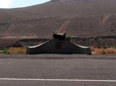
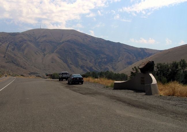
Beck Memorial
Inscription.
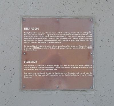
Fiery Floods
Twenty-five million years ago, this area was a land of meandering streams and lush, rolling hills. Then came the first lave flow. Long cracks or vents opened in the earth and lava flooded the land spreading like water. The lava cooled and solidified into basalt. Lakes, swamps and streams reformed on the new, relatively flat surface. Then lava again flooded the land. The time between lava flows was sometimes only months; sometimes hundreds, even thousands of years. Each eruption reset the clock in a cycle that continued for 15 to 20 million years.
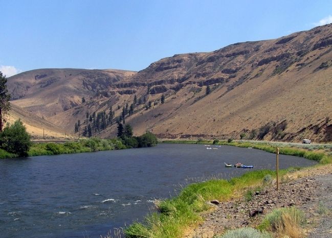
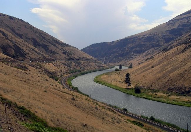
The layers of basalt visible in the valley walls are part of the largest lava fields in the world. It covers over 200,000 square miles in Washington, Oregon and Idaho and is reported to be over 10,000 feet thick in places.
Dedication
This monument is dedicated to Professor George Beck, who for many years taught geology at Central Washington University in Ellensburg. Funds were provided by Yakima residents who have been interested in the teachings of Professor Beck.
This project was coordinated through the Washington Parks Foundation and erected with cooperation of the Department of Transportation and the Washington State Parks and Recreation Commission.
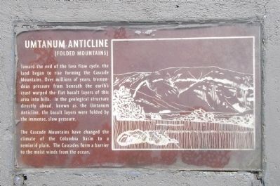
Umtanum Anticline
(Folded Mountains)
Toward the end of the lava flow cycle, the land began to rise forming the Cascade Mountains. Over millions of years of, tremendous pressure from beneath the earth’s crust warped the flat basalt layers of this area into hills. In the geological structure directly ahead, known as the Umtanum Anticycle, the basalt layers were folded by the immense, slow pressure.
The Cascade Mountains have changed the climate of the Columbia Basin to a semiarid plain. The Cascades form a barrier to the moist winds from the ocean.
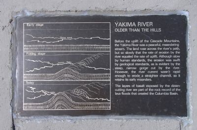
Yakima River
Older than the Hills
The layers of basalt exposed by the downcutting river are part of the rock record of the lava floods that created the Columbia Basin.
Erected 1969 by Department of Transportation and the Washington State Parks and Recreation Commission. (Marker Number 24.)
Topics. This historical marker and memorial is listed in this topic list: Natural Features.
Location. 46° 48.935′ N, 120° 27.088′ W. Marker is near Ellensburg, Washington, in Kittitas County. Marker is on Canyon Road (Washington Route 821) 12.2 miles south of Thrall Road, on the right when traveling south. Touch for map. Marker is in this post office area: Ellensburg WA 98926, United States of America. Touch for directions.
Other nearby markers. At least 1 other marker is within 11 miles of this marker, measured as the crow flies. Olmstead Cabin 1875 (approx. 10.8 miles away).
Regarding Beck Memorial. Field Trip Guidebook to the Natural
History of Kittitas County:
The Beck Memorial was built in honor of Central Washington College, now Central Washington University, geology professor George Beck. This memorial was built in honor of his life’s work, as an educator and scientist, and to his commitment to preserving the history and resources of this region. It was dedicated October 6th 1969. George Beck earned his Bachelor of Science degree at Washington State College, his Master of Science degree at the University of Washington, and did graduate work at the University of California at Berkley. He taught high school, college, and after retirement as served as curator of the Yakima Museum.
Prior to his position at Central George Beck taught high school physics and music at Lower Naches, Warden, and Ephrata and also served as principal of Ephrata High School. Beck came to Central in 1925 as an instructor of music and science. He was also a member of the Yakima Symphony and the State Parks Commission.
He taught geology and paleobotany at Central from 1933 through 1959 and distinguished himself worldwide in this position. His primary research focus was the study of the lava Petrified Forest of the Columbia Basin. He is credited with the discovery of seven petrified ginkgo trees, the only specimens of this type known to exist. His study interests also related to the excavation of the fossil remains of elephants, rhinoceros, camels, buffalo, lions, and horses found in Washington. All of his research was conducted with the help of undergraduate students at Central.
He was the author of numerous articles in journals and magazines. He was the driving force and founder of the Ginkgo National Monument, now the Ginkgo Petrified Forest State Park located 1.25 miles north of Vantage, Washington.
Related marker. Click here for another marker that is related to this marker. To better understand the relationship, study the marker shown.
Credits. This page was last revised on October 14, 2020. It was originally submitted on November 28, 2010, by PaulwC3 of Northern, Virginia. This page has been viewed 1,434 times since then and 62 times this year. Photos: 1, 2, 3, 4, 5, 6, 7. submitted on November 28, 2010, by PaulwC3 of Northern, Virginia.
