Centreville in Fairfax County, Virginia — The American South (Mid-Atlantic)
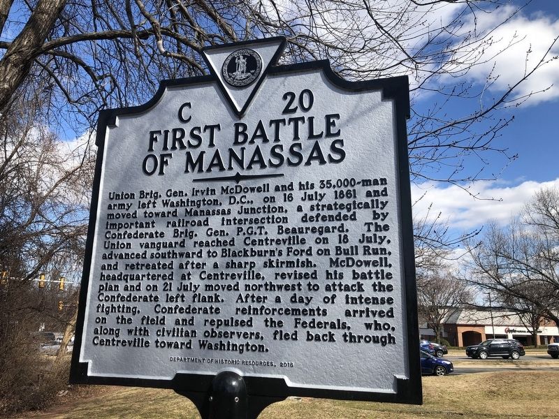
First Battle of Manassas
Erected 2016 by Department of Historic Resources. (Marker Number C-20.)
Topics and series. This historical marker is listed in these topic lists: Railroads & Streetcars • War, US Civil. In addition, it is included in the Virginia Department of Historic Resources (DHR) series list. A significant historical date for this entry is July 16, 1861.
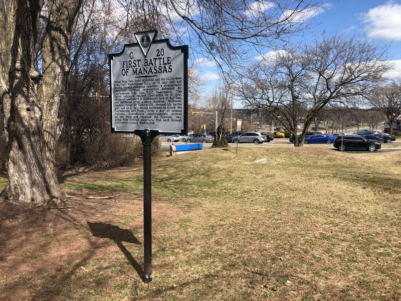
Location. 38° 50.277′ N, 77° 26.479′ W. Marker is in Centreville, Virginia, in Fairfax County. Marker can be reached from the intersection of Saint Germain Drive and Machen Road, on the right when traveling west. Touch for map . Marker is at or near this postal address: 14200 St Germain Dr, Centreville VA 20121, United States of America. Touch for directions.
Other nearby markers. At least 8 other markers are within walking distance of this marker. Second Battle of Manassas (here, next to this marker); Campaign of Second Manassas (a few steps from this marker); Confederate Defenses (a few steps from this marker); Mystery Of The Centreville Six (approx. half a mile away); Old Stone Church (approx. 0.6 miles away); Centreville Methodist Church (approx. 0.7 miles away); a different marker also named Centreville Methodist Church (approx. 0.7 miles away); Archaeology at Newgate Tavern (approx. 0.7 miles away). Touch for a list and map of all markers in Centreville.
Related marker. Click here for another marker that is related to this marker. This marker has replaced the linked marker.
Credits. This page was last revised on July 7, 2021. It was originally submitted on March 6, 2021, by Devry Becker Jones of Washington, District of Columbia. This page has been viewed 173 times since then and 15 times this year. Photos: 1, 2. submitted on March 6, 2021, by Devry Becker Jones of Washington, District of Columbia.

