Cadott in Chippewa County, Wisconsin — The American Midwest (Great Lakes)
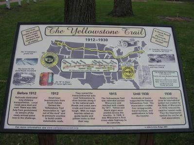
The Yellowstone Trail
1912–1930

Photographed By K. Linzmeier, May 10, 2010
1. The Yellowstone Trail Marker
photo captions:
[counterclockwise]
The YT following a prairie trail
The reason for the Good Roads movement
An "R" in Owen. YT turns right here.
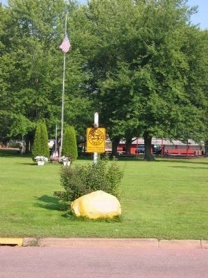
An original YT road marker
Adding YT colors to pole near Cadott
YT "Trail Day." Everyone out to work on the road!
[counterclockwise]
The YT following a prairie trail
The reason for the Good Roads movement
An "R" in Owen. YT turns right here.
An original YT road marker
Adding YT colors to pole near Cadott
YT "Trail Day." Everyone out to work on the road!
"A Good Road from Plymouth Rock to Puget Sound"
Before 1912 Railroads dominated long distance transportation. Local roads were dust and mud. There was little help from government so owners of the newly arrived autos rose to the challenge.
1912 Small town businessmen from South Dakota formed the Yellowstone Trail Association to "get out of the mud" and to pressure counties to build usable automobile roads.
They named the transcontinental auto road Yellowstone to draw tourists along it to the national park. Roads and autos were crude and travel was tough. With no maps tourists relied on guide books and yellow rocks to find their way.
1915 The Yellowstone Trail was extended across Wisconsin and reached both coasts by 1917. Yellow and black signs were posted across the country. In 1929, it was Wisconsin's first cross-state highway to be concrete.
Until 1930 Hundreds of towns supported the famous Yellowstone Trail. The Association created free campgrounds, travel bureaus, and publications to help the traveler.
1930 Route numbering (now an international system but created by the State of Wisconsin in 1918) reduced the need for named roads. Then the Depression spelled the end for all trail associations.
Yellowstone Trail in central Wisconsin [map]
This heritage sign is dedicated to the memory of Francis and Joyce Barquest Gannon by Robert and Judith Gannon Gilles; Mark, Tammy and Jordan Gilles and Memorials from Friends and Family.
Erected 2005 by John and Alice Ridge, (modern) Yellowstone Trail Association.
Topics. This historical marker is listed in this topic list: Roads & Vehicles. A significant historical year for this entry is 1912.
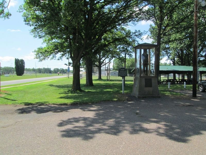
Location. Marker has been reported missing. It was located near 44° 57.217′ N, 91° 8.815′ W. Marker was in Cadott, Wisconsin, in Chippewa County. Marker was on State Highway 27, 0.1 miles north of Mills Street, on the left when traveling north. Marker is in Riverview Park along Park Place Road. Touch for map. Marker was in this post office area: Cadott WI 54727, United States of America. Touch for directions.
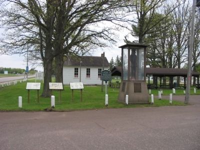
Other nearby markers. At least 8 other markers are within 2 miles of this location, measured as the crow flies. The Cadotte Fur Traders (here, next to this marker); The Great Northern Pine of Wisconsin (here, next to this marker); Cadott Centennial (here, next to this marker); Cadotte Trading Post Site (here, next to this marker); Cadott Hub and Spoke Factory (about
400 feet away, measured in a direct line); The Gravesite of Lansing A. Wilcox (approx. one mile away); Wisconsin Veterans Tribute (approx. 1.2 miles away); Citizen Soldier Monument (approx. 1.2 miles away). Touch for a list and map of all markers in Cadott.
Also see . . .
1. The Yellowstone Trail. (Submitted on February 5, 2011.)
2. Yellowstone Trail. Wikipedia entry. (Submitted on February 5, 2011.)
3. Chaska Herald. "Before 212, there was the Yellowstone" (Submitted on February 5, 2011.)
Credits. This page was last revised on July 16, 2022. It was originally submitted on February 5, 2011, by Keith L of Wisconsin Rapids, Wisconsin. This page has been viewed 1,540 times since then and 42 times this year. Photos: 1, 2. submitted on February 5, 2011, by Keith L of Wisconsin Rapids, Wisconsin. 3. submitted on July 16, 2022, by Jim Schaettle of Madison, Wisconsin. 4. submitted on February 5, 2011, by Keith L of Wisconsin Rapids, Wisconsin.


