Triangle in Milwaukee in Milwaukee County, Wisconsin — The American Midwest (Great Lakes)
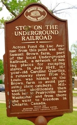
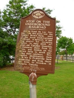
Stop on the Underground Railroad
[ A Twin marker is located on the reverse side of this marker. ]
Erected 1995 by Milwaukee County Transit System Milwaukee County Historical Society.
Topics. This historical marker is listed in these topic lists: Abolition & Underground RR • African Americans. A significant historical month for this entry is July 1842.
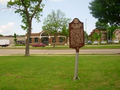
Location. 43° 3.373′ N, 87° 56.009′ W. Marker is in Milwaukee, Wisconsin, in Milwaukee County. It is in Triangle. Marker is at the intersection of Fond du Lac Avenue and North 17th Street (Wisconsin Highway 57), on the right when traveling south on Fond du Lac Avenue. Touch for map. Marker is in this post office area: Milwaukee WI 53205, United States of America. Touch for directions.
Other nearby markers. At least 8 other markers are within one mile of this marker, measured as the crow flies. St. Michael's Roman Catholic Church (approx. 0.7 miles away); St. Boniface Catholic Church (approx. 0.8 miles away); Pabst Brewery (approx. 0.8 miles away); Golda Meir 1898 - 1978 (approx. one mile away); Trinity Evangelical Lutheran Church Complex (approx. one mile away); General Office/Executive Building (approx. 1.1 miles away); Brown Bottle Pub/Sternewirt Priveledge (approx. 1.1 miles away); Schlitz Brewhouse A (approx. 1.1 miles away). Touch for a list and map of all markers in Milwaukee.
Related marker. Click here for another marker that is related to this marker. Marker for Lyman Goodnow, first conductor of Wisconsin's underground railroad.
Credits. This page was last revised on February 16, 2023. It was originally submitted on July 12, 2010, by Paul Fehrenbach of Germantown, Wisconsin. This page has been viewed 1,944 times since then and 64 times this year. Last updated on July 13, 2011, by Paul Fehrenbach of Germantown, Wisconsin. Photos: 1, 2, 3. submitted on July 13, 2010, by Paul Fehrenbach of Germantown, Wisconsin. • Kevin W. was the editor who published this page.


