3 entries match your criteria.
Related Historical Markers
By J. J. Prats, May 28, 2011
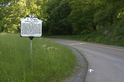
Burke’s Garden Marker
SHOWN IN SOURCE-SPECIFIED ORDER
| | Known for its fertility and great
natural beauty, the bowl shaped
Burke’s Garden is the highest valley
in Virginia. James Burke discovered
it during the 1740s while hunting and
settled here about 1754. After four
years Burke and his family . . . — — Map (db m44656) HM |
| | Burke’s Garden is named for James Burke who
surveyed the region with James Patton by
1750. According to tradition, Burke buried
some potato peelings in the region’s fertile
soil during a survey expedition. Sometime
later another group camped . . . — — Map (db m44663) HM |
| | Eight miles east is Burke’s Garden, discovered by James Burke in 1749. Major Lewis’s expedition against the Indians, 1756, camped there, and Burke’s fort was there in 1774. In 1781 Indians raided into Burke’s Garden, carrying off the wife and . . . — — Map (db m44669) HM |
Apr. 19, 2024