New Franklin in Howard County, Missouri — The American Midwest (Upper Plains)
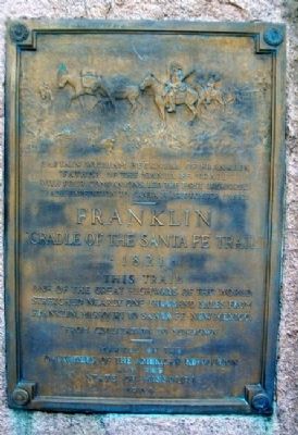
Franklin
"Cradle of the Santa Fe Trail"
— 1821 —
One of the Great Highways of the World
Stretched nearly one thousand miles from
Franklin, Missouri to Santa Fe, New Mexico
"From Civilization to Sundown"
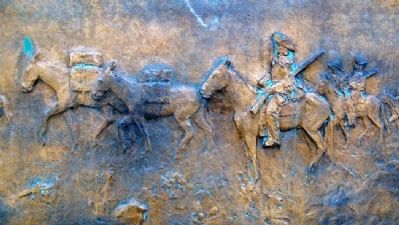
[Relief Caption]
Captain William Becknell of Franklin
"Father of the Santa Fe Trail"
With four companions, led the first organized
trade expedition to Santa Fe, September 1st, 1821
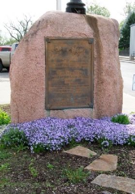
Erected 1909 by Daughters of the American Revolution and the State of Missouri.
Topics and series. This historical marker is listed in these topic lists: Roads & Vehicles • Settlements & Settlers. In addition, it is included in the Daughters of the American Revolution, and the Santa Fe Trail series lists. A significant historical month for this entry is September 1849.
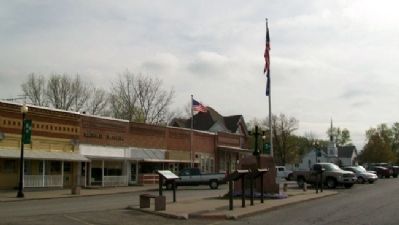
Location. 39° 1.032′ N, 92° 44.185′ W. Marker is in New Franklin, Missouri, in Howard County. Marker is on Broadway, in the median. Touch for map. Marker is at or near this postal address: 125 East Broadway, New Franklin MO 65274, United States of America. Touch for directions.
Other nearby markers. At least 8 other markers are within walking distance of this marker. Franklin and New Franklin (here, next to this marker); End of Boone's Lick Trail (here, next to this marker); City of Trails (here, next to this marker); Missouri - Kansas - Texas Railroad (here, next to this marker); "Missouri Waltz" (here, next to this marker); Santa Fe Trail Marker (a few steps from this marker); KATY Caboose #127 (within shouting distance of this marker); Santa Fe Trail (approx. 0.3 miles away). Touch for a list and map of all markers in New Franklin.
Related marker. Click here for another marker that is related to this marker.
Also see . . .
1. Santa Fe National Historic Trail. (Submitted on July 7, 2011, by William Fischer, Jr. of Scranton, Pennsylvania.)
2. Santa Fe Trail Association. (Submitted on July 7, 2011, by William Fischer, Jr. of Scranton, Pennsylvania.)
Credits. This page was last revised on January 20, 2020. It was originally submitted on July 6, 2011, by William Fischer, Jr. of Scranton, Pennsylvania. This page has been viewed 753 times since then and 22 times this year. Photos: 1, 2, 3, 4. submitted on July 6, 2011, by William Fischer, Jr. of Scranton, Pennsylvania.


