3 entries match your criteria.
Related Historical Markers
To better understand the relationship, study each marker in the order shown.
By TRCP Alliance, September 25, 2011
Fort Claiborne Marker (East View)
SHOWN IN SOURCE-SPECIFIED ORDER
| | Built by Gen. Ferdinand L. Claiborne as a base for his invasion of the Alabama country with U.S. Regulars, Lower Tombigbee Militia, and friendly Choctaws. Claiborne’s campaign culminated in the American victory over the Creeks at the Holy Ground. — — Map (db m47641) HM |
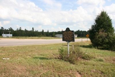
| | During the westward expansion of the United States in the early 1800’s, those whose destination was the new Mississippi Territory took a right fork off the Federal Road which led to the Alabama River ferry at Claiborne. After the land cessions of . . . — — Map (db m47638) HM |
| | Oldest Building in Monroe County
Erected in 1824 with funds from a public lottery. Lower floor served as a Baptist Church and a Court Room in which William B. Travis, then a resident of Claiborne, practiced law. Visited by General LaFayette April . . . — — Map (db m39203) HM |
Apr. 25, 2024